
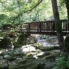
Tollymore Forest Park
13.6 km
Royal County Down Golf Club
14.6 km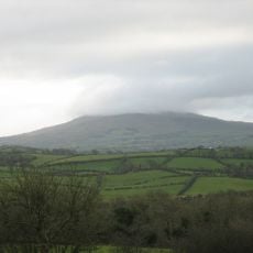
Slieve Croob
3.5 km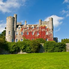
Castlewellan Forest Park
7.6 km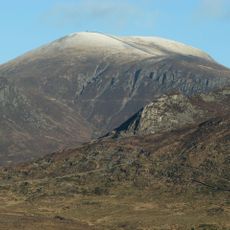
Slieve Commedagh
15.8 km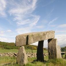
Legananny Dolmen
106 m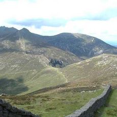
Slieve Bearnagh
15.6 km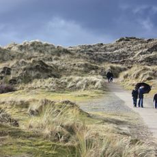
Murlough Nature Reserve
14.6 km
Clough Castle
12.6 km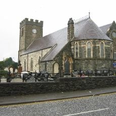
Dromore Cathedral
13.4 km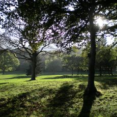
Donard Park
15.2 km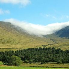
Slieve Meelmore
14.9 km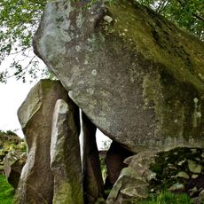
Goward Dolmen
13.2 km
Annadorn Dolmen
14.1 km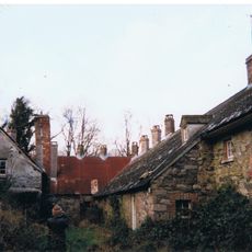
Burrenwood
9.8 km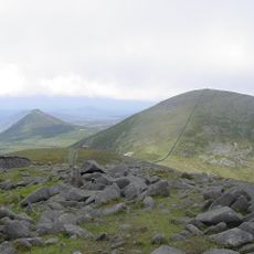
Slieve Meelbeg
15.5 km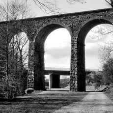
Dromore Viaduct
13.7 km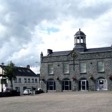
Ballynahinch Market House
11.8 km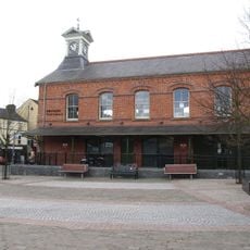
Dromore Town Hall
13.2 km
Rathfriland Castle
13.1 km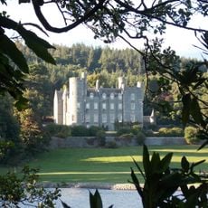
Castlewellan Castle Castlewellan Co.down
7.7 km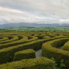
Peace Maze at Castlewellan Forest Park
8.3 km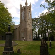
Kilcoo C Of I Parish Church Bryansford Village Ballyhafry Newcastle Co Down Bt33 0pt
11.7 km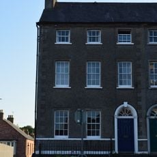
8 The Square Hillsborough County Down Bt26 6ag
15.9 km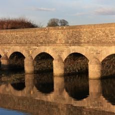
Slidderyford Bridge (the Twelve Arches) Old Ballynahinch Road Wateresk Dundrum Newcastle Co.down
13.9 km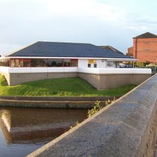
Newcastle Library
15 km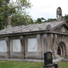
Murland Tomb Clough Non-subscribing Presbyterian Church Castlewellan Road Clough Downpatrick Co Down
12.2 km
Clough Non-subscribing Presbyterian Church Castlewellan Road Clough Downpatrick Co Down Bt30 8rd
12.2 kmReviews
Visited this place? Tap the stars to rate it and share your experience / photos with the community! Try now! You can cancel it anytime.
Discover hidden gems everywhere you go!
From secret cafés to breathtaking viewpoints, skip the crowded tourist spots and find places that match your style. Our app makes it easy with voice search, smart filtering, route optimization, and insider tips from travelers worldwide. Download now for the complete mobile experience.

A unique approach to discovering new places❞
— Le Figaro
All the places worth exploring❞
— France Info
A tailor-made excursion in just a few clicks❞
— 20 Minutes