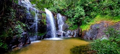
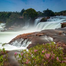
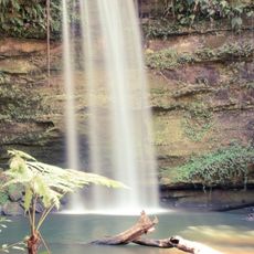
Cachoeira do Lajeado, Natural waterfall in Tocantins, Brazil.
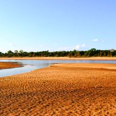
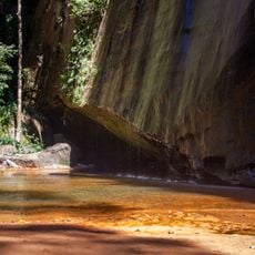
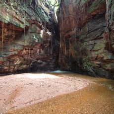
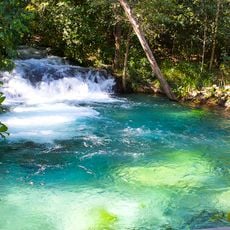
Cachoeira do Lajeado is a waterfall in Tocantins where water drops vertically from rocky terrain into the Tocantins River below. The water descends over slate formations, creating a powerful continuous flow that feeds directly into the river system.
Indigenous communities have inhabited the region for centuries, using the Tocantins River as a primary route for travel and resource gathering. This long history of human presence shaped the landscape and its significance.
The waterfall serves as a gathering place for local communities during regional celebrations, where people share traditional foods and stories connected to the Tocantins River. These moments reflect how deeply the falls are woven into everyday life and memory.
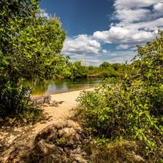
The waterfall is accessible by paved roads from major cities in Tocantins and can be visited throughout the year. The dry season from May to September offers the best viewing conditions, when water levels are more stable.
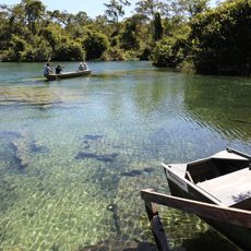
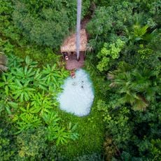
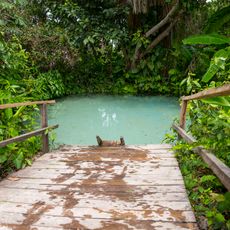
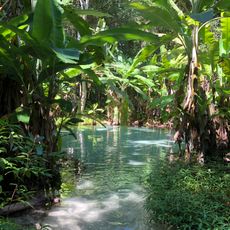
The ecosystem around the waterfall is home to Amazonian manatees and Araguaian river dolphins that swim in the connected waterways. Around 350 fish species inhabit these waters, making it a biologically rich area.
The community of curious travelers
AroundUs brings together thousands of curated places, local tips, and hidden gems, enriched daily by 60,000 contributors worldwide.