
Vindolanda, Roman fort and archaeological site in Northumberland, England
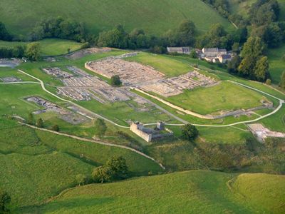
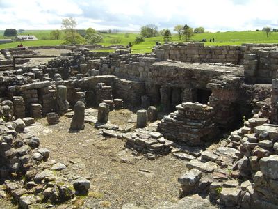
Vindolanda is a Roman military post in Northumberland, England, where the excavation area reveals barracks, civilian houses, workshops, granaries, and defensive walls across multiple ground layers. A museum on the grounds displays thousands of finds, while reconstructed buildings and ongoing excavations give visitors a sense of life at this frontier post.
The site began in 85 CE along the Stanegate road to secure the northern frontier of Britain before the construction of Hadrian's Wall. Over the centuries, nine different forts were built here, each erected on the ruins of the previous one, preserving organic materials like leather and wood in oxygen-poor soil.
The wooden tablets found here record beer deliveries, birthday invitations, and requests for warmer underwear during British winters. They offer direct insight into the everyday language and personal concerns of soldiers and their families living at this frontier post far from Rome.
The site lies south of Hadrian's Wall and is reached by a well-signposted access road branching off from the main A69 highway. The grounds include both flat and gently sloping sections, so sturdy footwear is advisable, especially after rainfall.
The repeated building of new forts on old foundations created a kind of time capsule where even textiles and wooden letters survived for nearly two millennia. Conditions in the soil allowed hundreds of inscribed wooden tablets to remain readable, now giving voice to the personal words of Roman frontier soldiers.
Location: Henshaw
Inception: 85
Operator: Vindolanda Trust (Charity No. 1159798 Company No. 9182268)
Part of: Stanegate, Vindolanda (Chesterholm) Roman forts, civil settlement and cemeteries, adjacent length of the Stanegate Roman road and two milestones, Samian Research
Address: Hexham NE47 7JN, UK
Opening Hours: Monday-Sunday 09:30-16:00
Phone: +441434344277
Website: https://vindolanda.com
GPS coordinates: 54.99138,-2.36026
Latest update: January 6, 2026 10:14

Sycamore Gap Tree
1.6 km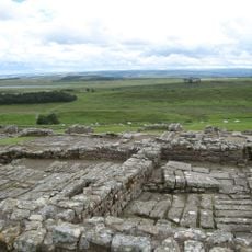
Housesteads Roman Fort
3 km
Milecastle 39
1.7 km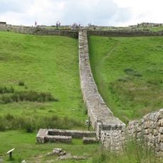
Knag Burn Gateway
3.3 km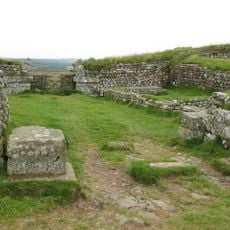
Milecastle 37
2.7 km
Milecastle 38
1.8 km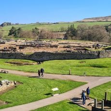
Vindolanda Museum
180 m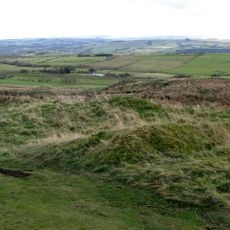
Milecastle 40
2.8 km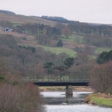
Ridley Railway Bridge
3 km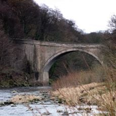
Ridley Bridge
3.1 km
Millhouse Bridge
2.3 km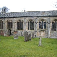
Church of St Cuthbert
3.1 km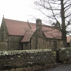
Church of All Hallows
2.1 km
Vindolanda Museum
154 m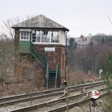
Bardon Mill signal box
2 km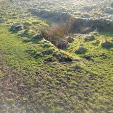
Housesteads Mithraeum
2.9 km
Bardon Mill War Memorial
2.1 km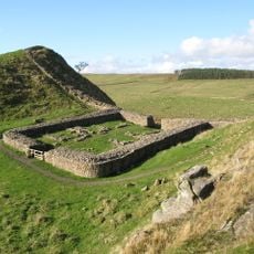
Hadrians Wall Milecastles And Turrets
2.6 km
Crindledykes Lime Kiln
1.2 km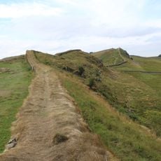
Housesteads fort, section of Wall and vallum between the field boundary west of milecastle 36 and the field boundary west of turret 37a in wall miles 36 and 37
2.8 km
Uninscribed Roman milestone at Codley Gate (Vindolanda)
185 m
Stone circle, defended settlement, Romano-British farmstead and field system, Roman camp and group of shielings immediately sout
3.2 km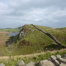
Hadrian's Wall and associated features between the field boundary west of turret 37a and the road to Steel Rigg car park in wall
1.6 km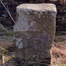
Milestone, Winshields
3.1 km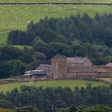
Willimontswick Farmhouse
2.8 km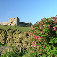
Willimontswick Gatehouse And Adjacent Ranges
2.7 km
Causeway House And Loose Box Adjoining On East
760 mVisited this place? Tap the stars to rate it and share your experience / photos with the community! Try now! You can cancel it anytime.
Discover hidden gems everywhere you go!
From secret cafés to breathtaking viewpoints, skip the crowded tourist spots and find places that match your style. Our app makes it easy with voice search, smart filtering, route optimization, and insider tips from travelers worldwide. Download now for the complete mobile experience.

A unique approach to discovering new places❞
— Le Figaro
All the places worth exploring❞
— France Info
A tailor-made excursion in just a few clicks❞
— 20 Minutes