Andover Public Golf Course
Location: Andover Township
GPS coordinates: 41.59418,-80.56669
Latest update: November 19, 2025 07:19
Conneaut Lake Park
21.4 km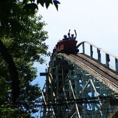
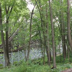
Blue Streak
21.2 km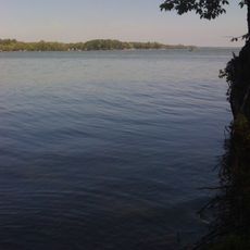
Pymatuning State Park
6.8 km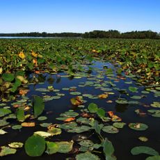
Pymatuning State Park
3.2 km
Clarence Darrow Octagon House
16.2 km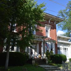
Gibson House
16.1 km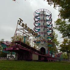
Toboggan
21.5 km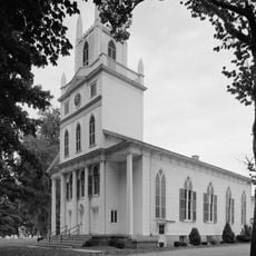
Congregational-Presbyterian Church
16.3 km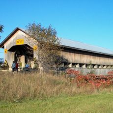
Caine Road Covered Bridge
19.4 km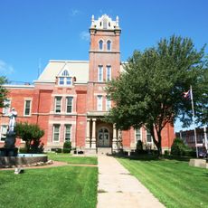
Ashtabula County Courthouse Group
23.3 km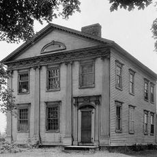
Dr. Peter Allen House
15.7 km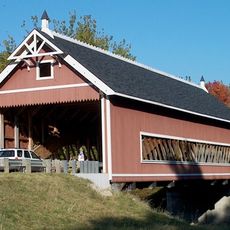
Netcher Road Covered Bridge
21 km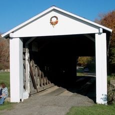
South Denmark Road Covered Bridge
17.2 km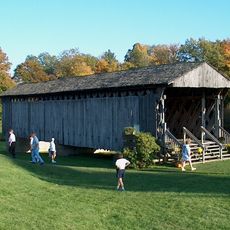
Graham Road Covered Bridge
21.3 km
Bridge in East Fallowfield Township
20.2 km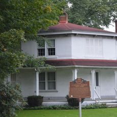
Darrow Octagon House - Clarence Darrow (1857-1938)
16.1 km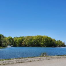
Jamestown Beach #2
12.8 km
State Game Lands Number 214
16.2 km
Benjamin F. Wade House
23.3 km
Gustavus Center Historic District
17.4 km
Bronzwood Golf Club
12 km
Walnut Creek Golf Course
14.6 km
The Greens at Salvatora Farms
19.4 km
Hickory Grove Golf Club
20.4 km
Kiddieland
21.3 km
Ohio Bicentennial Barn Painting
17.4 km
Work of art
21.3 km
Wilson
11.3 kmReviews
Visited this place? Tap the stars to rate it and share your experience / photos with the community! Try now! You can cancel it anytime.
Discover hidden gems everywhere you go!
From secret cafés to breathtaking viewpoints, skip the crowded tourist spots and find places that match your style. Our app makes it easy with voice search, smart filtering, route optimization, and insider tips from travelers worldwide. Download now for the complete mobile experience.

A unique approach to discovering new places❞
— Le Figaro
All the places worth exploring❞
— France Info
A tailor-made excursion in just a few clicks❞
— 20 Minutes