Lock 12
Location: Montgomery County
GPS coordinates: 38.97243,-77.17771
Latest update: October 26, 2025 12:08
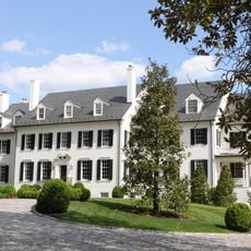
Hickory Hill
3.4 km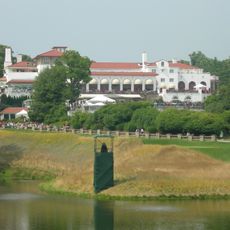
Congressional Country Club
2.6 km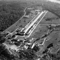
David Taylor Model Basin
1.2 km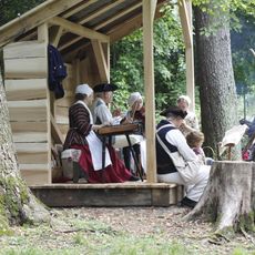
Claude Moore Colonial Farm
3.1 km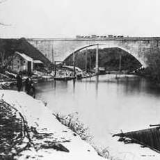
Union Arch Bridge
2.6 km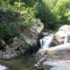
Scott's Run Nature Preserve
2 km
Cabin John Creek
2.7 km
Virginia State Route 193
2.6 km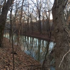
Plummers Island
356 m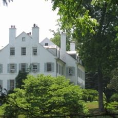
Langley Fork Historic District
3.3 km
Carderock Springs Historic District
2 km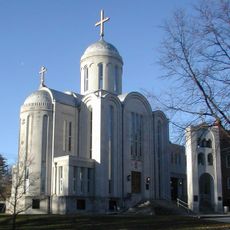
Orthodox Church in America Diocese of Washington
2.5 km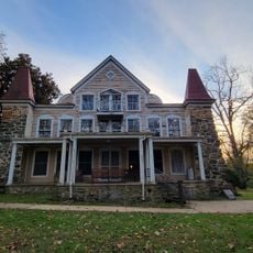
Clara Barton National Historic Site
3.2 km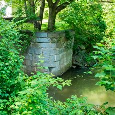
Lock 7
3.5 km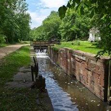
Lock 8
1.5 km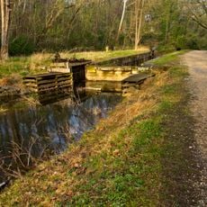
Lock 9
932 m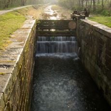
Lock 10
788 m
Lock 14
275 m
Yellow Barn Gallery
3.5 km
Lock 11
500 m
Popcorn Gallery
3.5 km
Lock 13
132 m
A-12 Oxcart
3.4 km
Work of art, sculpture
3.2 km
Scott's Run Falls
2.2 km
Stubblefield Falls Overlook
1.7 km
Scenic viewpoint
3.3 km
Scenic viewpoint
1.1 kmReviews
Visited this place? Tap the stars to rate it and share your experience / photos with the community! Try now! You can cancel it anytime.
Discover hidden gems everywhere you go!
From secret cafés to breathtaking viewpoints, skip the crowded tourist spots and find places that match your style. Our app makes it easy with voice search, smart filtering, route optimization, and insider tips from travelers worldwide. Download now for the complete mobile experience.

A unique approach to discovering new places❞
— Le Figaro
All the places worth exploring❞
— France Info
A tailor-made excursion in just a few clicks❞
— 20 Minutes