Petermann, locality in the Northern Territory, Australia
Location: Northern Territory
Location: MacDonnell Region
Shares border with: Lake Mackay, Mutitjulu, Mereenie, Yulara, Ghan, Namatjira, Ngaanyatjarra-Giles, Kaltukatjara, Anangu Pitjantjatjara Yankunytjatjara
GPS coordinates: -25.03281,130.68612
Latest update: October 20, 2025 05:49
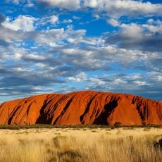
Uluru
49.2 km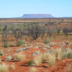
Outback
69.3 km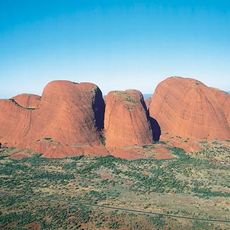
Kata Tjuta
29.9 km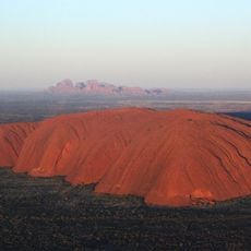
Uluṟu-Kata Tjuṯa National Park
44.1 km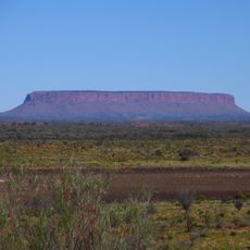
Mount Conner
132.3 km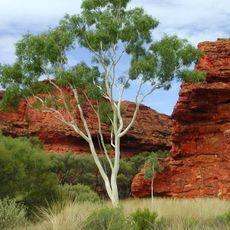
Kings Canyon
123.7 km
Mount Woodroffe
178.2 km
Curtin Springs
111.2 km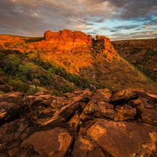
Watarrka National Park
129.3 km
Surveyor Generals Corner
200.5 km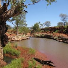
Angas Downs Indigenous Protected Area
159.5 km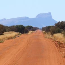
Mount Liebig
206 km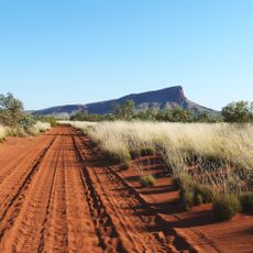
Mount Leisler
232.1 km
Uluṟu-Kata Tjuṯa Cultural Centre
49.4 km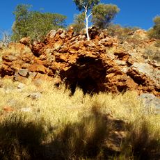
Lasseter's Cave
130.2 km
Aviary
112.3 km
Mutitjulu Waterhole
49.7 km
Bungabiddy Rockhole
199.8 km
Tropic of Capricorn Plaque
223.3 km
Kata Tjuta (The Olgas)
30.1 km
Palm Valley
232.5 km
Uluru Camel Tours
39.2 km
Centre of Australia - Lambert Gravitational Centre
159.1 km
Field of Lights
40.3 km
Second Lookout Karingana
29.5 km
World's Oldest Sand Dunes
43.6 km
Exit to Lilla
123.7 km
Gosse Bluff
212.8 kmReviews
Visited this place? Tap the stars to rate it and share your experience / photos with the community! Try now! You can cancel it anytime.
Discover hidden gems everywhere you go!
From secret cafés to breathtaking viewpoints, skip the crowded tourist spots and find places that match your style. Our app makes it easy with voice search, smart filtering, route optimization, and insider tips from travelers worldwide. Download now for the complete mobile experience.

A unique approach to discovering new places❞
— Le Figaro
All the places worth exploring❞
— France Info
A tailor-made excursion in just a few clicks❞
— 20 Minutes