
Targhee Lanes
Location: St. Anthony
Address: 148 N Bridge St, St Anthony, ID 83445, USA 83445 Saint Anthony 83445 Saint Anthony
Opening Hours: Lunedì,Martedì 18:00+; Venerdì,Sabato 17:00-18:00+
Phone: +12083510463
GPS coordinates: 43.96814,-111.68208
Latest update: March 21, 2025 14:53

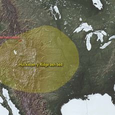
Huckleberry Ridge Tuff
49.1 km
Island Park Caldera
49.1 km
Henry's Fork Caldera
49.1 km
Mesa Falls Tuff
49.1 km
Rexburg Idaho Temple
19.2 km
Upper Mesa Falls
37.3 km
Camas National Wildlife Refuge
45.5 km
Ririe Reservoir
43.3 km
Lower Mesa Falls
36.5 km
Rexburg Stake Tabernacle
17.7 km
South Fremont High School
780 m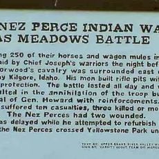
Camas Meadows Battle Sites
51.2 km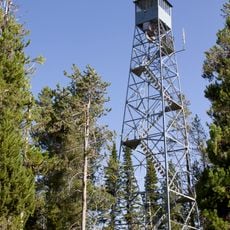
Bishop Mountain Lookout
41.9 km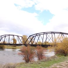
St. Anthony Pegram Truss Railroad Bridge
3.4 km
Ririe A Pegram Truss Railroad Bridge
33.9 km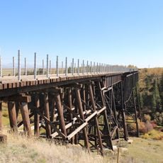
Conant Creek Pegram Truss Railroad Bridge
25.9 km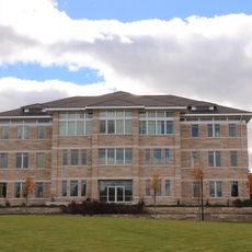
Jacob Spori Building
18.2 km
Fremont County Courthouse
158 m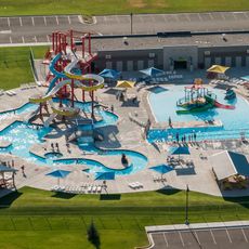
Rexburg Rapids
17.3 km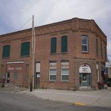
Independent Order of Odd Fellows Hall
21.8 km
Jefferson County Courthouse
37.6 km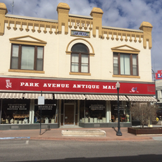
I.O.O.F. Building
31.1 km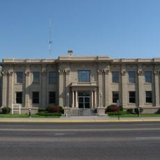
Madison County Courthouse
17.5 km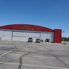
Legacy Flight Museum
17.9 km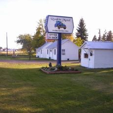
Rankin Motel
21.3 km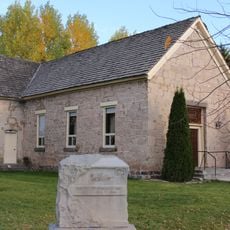
Iona Meetinghouse
52.8 km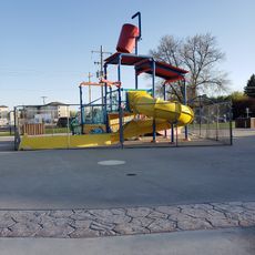
Rexburg Spray Park
18.5 km
St. Anthony Sand Dunes
9.9 kmReviews
Visited this place? Tap the stars to rate it and share your experience / photos with the community! Try now! You can cancel it anytime.
Discover hidden gems everywhere you go!
From secret cafés to breathtaking viewpoints, skip the crowded tourist spots and find places that match your style. Our app makes it easy with voice search, smart filtering, route optimization, and insider tips from travelers worldwide. Download now for the complete mobile experience.

A unique approach to discovering new places❞
— Le Figaro
All the places worth exploring❞
— France Info
A tailor-made excursion in just a few clicks❞
— 20 Minutes