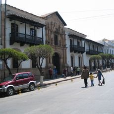
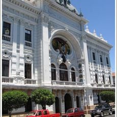
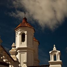
Plaza 25 de Mayo, Central square in Sucre, Bolivia.
Plaza 25 de Mayo is a central public square in Sucre featuring a statue of Antonio José de Sucre at its center with several stone fountains positioned along diagonal pathways. The surrounding buildings house restaurants, shops, and tourist services.
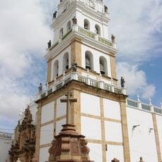
The square, originally called Plaza Mayor, witnessed the signing of Bolivia's independence declaration in 1825 at the Casa de la Libertad. This event made it a significant landmark in the nation's history.
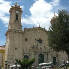
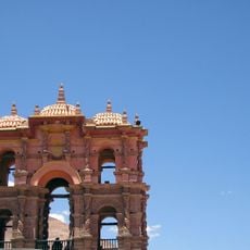
The square shows French design principles through its symmetrical layout and decorative details that visitors notice while walking around. The circular paths connect different areas and create a unified spatial experience.
The square is open to visitors throughout the day and night and offers easy access for pedestrians. Restaurants and shops nearby provide places to rest and explore the local surroundings.
During colonial times, residents followed a gender-based walking pattern on the square, with women moving clockwise and men moving counterclockwise. This social custom reflected the conventions of that era.
The community of curious travelers
AroundUs brings together thousands of curated places, local tips, and hidden gems, enriched daily by 60,000 contributors worldwide.