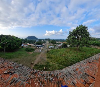
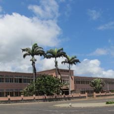
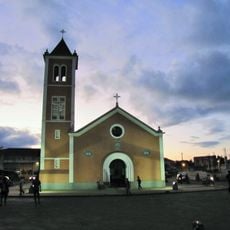
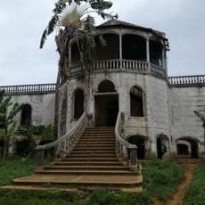
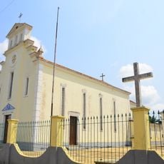
Agostinho Neto, Colonial plantation complex in Lobata District, Sao Tome and Principe.
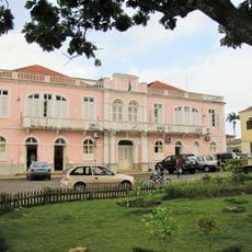
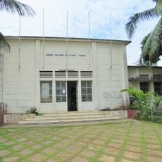
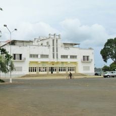
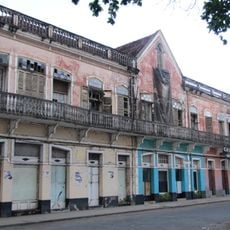
Agostinho Neto is a former plantation complex in Guadalupe with a three-story main palace, administrative buildings, worker quarters, and processing facilities scattered across the grounds. A museum housed in the former mansion displays agricultural tools, documents, and objects from the colonial period.
The plantation was founded in 1865 by Brazilian merchant Gabriel Bustamante as a major agricultural operation. By 1910, an extensive railway network had been built across the property to transport crops and goods.
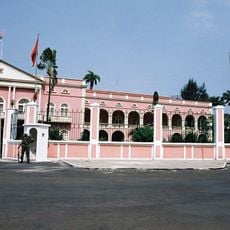
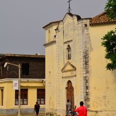
The settlement was renamed in 1975 to honor Angola's founding father, replacing its former designation as Rio do Ouro. This change reflects how places took on new identities following independence from colonial rule.
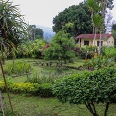
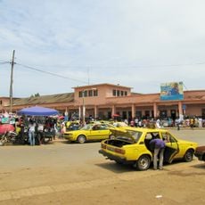
Walking across the site is possible, though the terrain is uneven and some structures show signs of decay or collapse. Wear sturdy shoes and plan to spend time exploring all areas of the property.
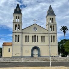
The plantation's hospital building, now crumbling, once appeared on Sao Tome and Principe's 5000 dobras banknote. Its presence on currency reflected the site's importance to the nation's colonial past.
The community of curious travelers
AroundUs brings together thousands of curated places, local tips, and hidden gems, enriched daily by 60,000 contributors worldwide.