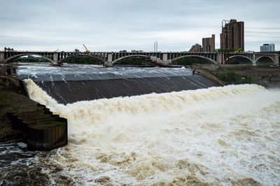
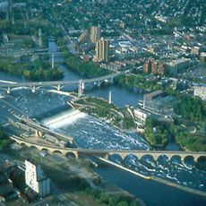
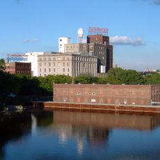
Upper Saint Anthony Falls, Cascade and weir system on Mississippi River in Minneapolis, United States.
Upper Saint Anthony Falls is a weir and cascade system on the Mississippi River in Minneapolis, featuring a 49-foot (15 m) drop that creates the largest water level change in this stretch of the river. The system includes locks, dams, and holding pools that work together as an engineered structure that shapes the landscape and water flow.
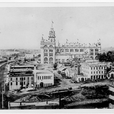
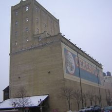
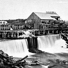
The falls powered Minneapolis's growth from the late 1800s into the early 1900s, supplying energy to grain mills that processed crops from surrounding agricultural areas. In 1880, workers built a timber structure to protect the underlying limestone from erosion, establishing the foundation for later engineering solutions.
The Dakota people originally called this place Owámniyomni, and Father Louis Hennepin renamed it in 1680 after his patron saint. Walking through the area today, you can see how both names have shaped the region's identity and local memory.
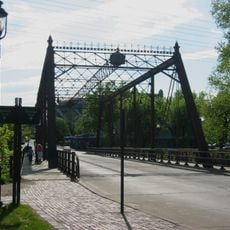
You can walk around the area and see the river from several viewpoints, with paths and bridges giving access to different parts of the system. The site is easy to reach by public transportation or on foot from downtown, and conditions are best when the weather is clear.
In the 1950s, engineers replaced the original timber protection with concrete reinforcement, a major shift in how the site was maintained. This change made the structure safer and more stable while preserving the power and flow of the water.
The community of curious travelers
AroundUs brings together thousands of curated places, local tips, and hidden gems, enriched daily by 60,000 contributors worldwide.