Samaria National Park, National park in Crete, Greece
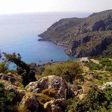
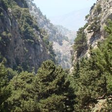
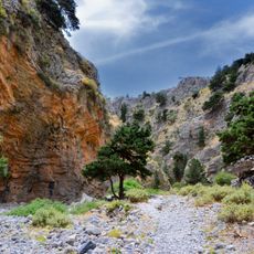
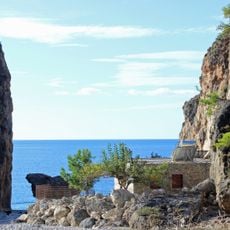
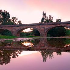
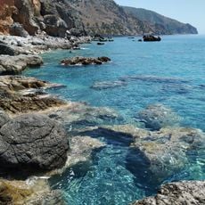
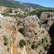
Samaria National Park is a nature reserve centered on a deep limestone gorge extending from the Omalos plateau down to the Libyan Sea. The gorge stretches roughly 16 kilometers with cliff walls that rise steeply, and includes sections of varying width, vegetation, and seasonal water sources throughout.
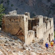
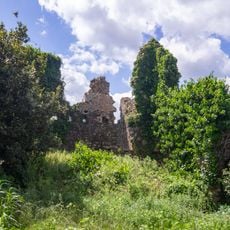
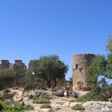
The area shows archaeological traces of ancient settlements, indicating human presence from classical times. The gorge later served as a refuge during periods of conflict and upheaval throughout Greek history.
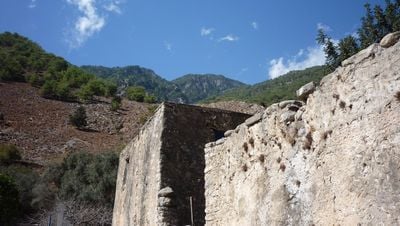
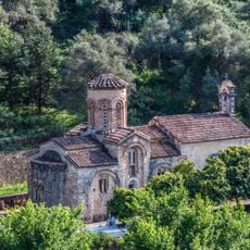
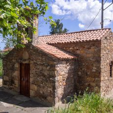
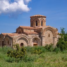
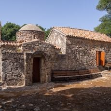
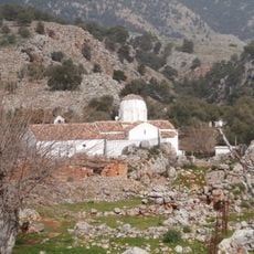
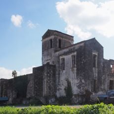
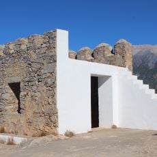
The abandoned village of Samaria displays traditional stone houses built low to withstand mountain winds, with the Church of Saint Mary at its center showing local building methods. These structures reflect how communities adapted their homes to harsh terrain and seasonal weather.
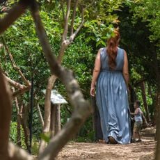
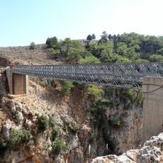
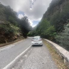
The park is accessible during daylight hours and visitors typically hike downward from the plateau entrance toward the lower outlet. Sturdy footwear and plenty of water are essential since the trail crosses rough terrain with little shade along the route.
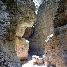
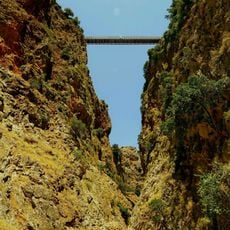
The narrowest point of the gorge, called the Gates, is only a few meters wide while cliff walls tower over 300 meters above. Many visitors underestimate this dramatic passage until they experience its soaring rock faces firsthand.
The community of curious travelers
AroundUs brings together thousands of curated places, local tips, and hidden gems, enriched daily by 60,000 contributors worldwide.