
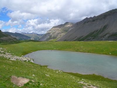
Lac de Privola
Location: Saint-Dalmas-le-Selvage
GPS coordinates: 44.22631,6.81795
Latest update: July 23, 2025 15:05
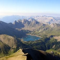
Lac d'Allos
8.8 km
Cime de la Bonette
10.6 km
Pelat
9.9 km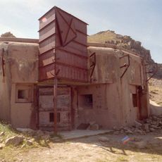
Ouvrage La Moutière
10 km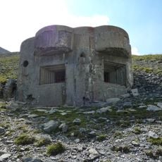
Ouvrage Col de Crous
10.1 km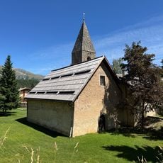
Saint-Étienne-de-Tinée - Chapelle Saint-Erige
9.2 km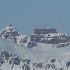
Fort Carra
2.3 km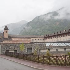
Saint-Étienne-de-Tinée - Ancien couvent des Trinitaires de Saint-Salaire
9 km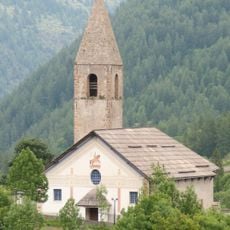
Église Saint-Dalmas de Saint-Dalmas-le-Selvage
7.5 km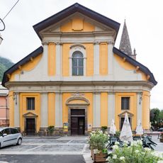
Saint-Étienne-de-Tinée - Église des Dignitaires
9.2 km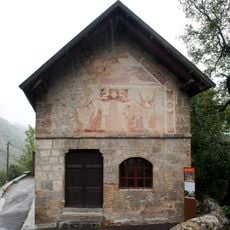
Saint-Étienne-de-Tinée - Chapelle Saint-Sébastien
9.3 km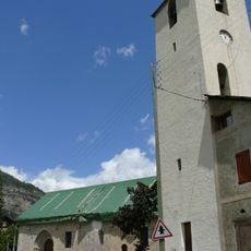
Église Saint-Martin d'Entraunes
10.4 km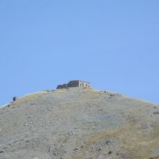
Batterie de la Tête de Vinaigre
10.3 km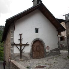
Chapelle Sainte-Marguerite de Saint-Dalmas-le-Selvage
7.5 km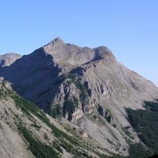
Roche Grande
3.4 km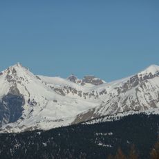
Cime de Pal
2.4 km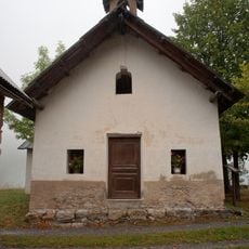
Saint-Étienne-de-Tinée - Chapelle Saint-Maur
9.7 km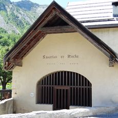
Chapelle Saint-Sébastien
6.9 km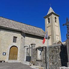
Église Saint-Nicolas de Châteauneuf-d'Entraunes
10.9 km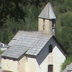
Église Notre-Dame-de-la-Nativité
7 km
Chapelle Notre-Dame-des-Monts du lac d'Allos
9 km
Saint-Étienne-de-Tinée - Maison de Sébastien Fabri
9.2 km
Chapelle Saint-Joseph de Châteauneuf-d'Entraunes
10.9 km
Chapelle Saint-Guilhem de Saint-Martin-d'Entraunes
10.3 km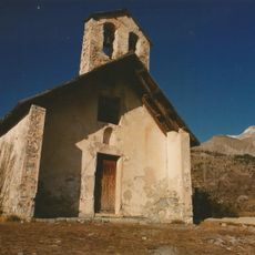
Chapelle des Barrels
9.7 km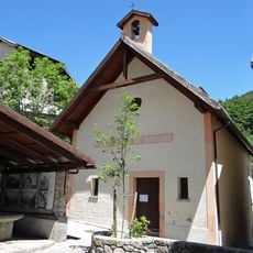
Chapelle Notre-Dame-du-Rosaire d'Entraunes
7 km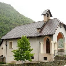
Chapelle Saint-Michel
9.3 km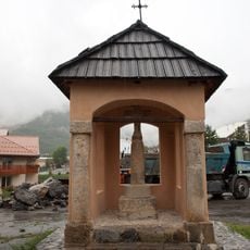
Saint-Étienne-de-Tinée - Oratoire du Pilon
9.3 kmReviews
Visited this place? Tap the stars to rate it and share your experience / photos with the community! Try now! You can cancel it anytime.
Discover hidden gems everywhere you go!
From secret cafés to breathtaking viewpoints, skip the crowded tourist spots and find places that match your style. Our app makes it easy with voice search, smart filtering, route optimization, and insider tips from travelers worldwide. Download now for the complete mobile experience.

A unique approach to discovering new places❞
— Le Figaro
All the places worth exploring❞
— France Info
A tailor-made excursion in just a few clicks❞
— 20 Minutes