

Picture Canyon
76.5 km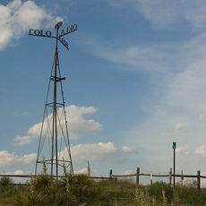
8 Mile Corner
20 km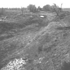
Wagon Bed Spring
55.5 km
Cimarron County Courthouse
70.5 km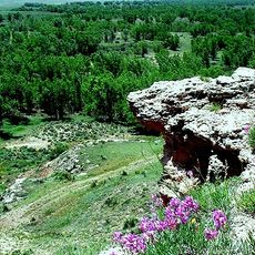
Point of Rocks
4.6 km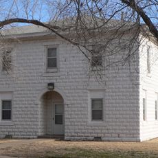
Franklin Hall
64.4 km
CCC Ranch Headquarters
42.8 km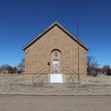
Springfield Schoolhouse
70.6 km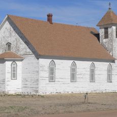
Stonington First Methodist-Episcopal Church
31.2 km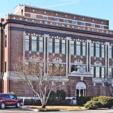
Texas County Courthouse
62.5 km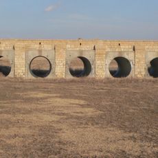
Morton County WPA Bridge
20.7 km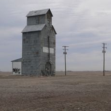
Hooker Woodframe Grain Elevator
68 km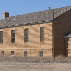
Menno Community Hall
79.5 km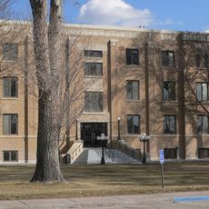
Grant County Courthouse District
69.3 km
Tracey Woodframe Grain Elevator
36.8 km
Springfield Museum
70.1 km
Cimarron Heritage Center Museum
69.8 km
Devils Elbow
62.2 km
Buffalo Point
48.5 km
Autograph Cliff
74.5 km
Stanton County Prairie Pines Golf Course
51.7 km
Point Rock Golf Club
14.9 km
Forewinds Municipal Golf Club
44.8 km
Panhandle Park
64.8 km
Public Shooting Range
76.4 km
Guymon Community Theatre
62.5 km
Cimmaronosaurus
69.8 km
Tin Man
69.8 kmReviews
Visited this place? Tap the stars to rate it and share your experience / photos with the community! Try now! You can cancel it anytime.
Discover hidden gems everywhere you go!
From secret cafés to breathtaking viewpoints, skip the crowded tourist spots and find places that match your style. Our app makes it easy with voice search, smart filtering, route optimization, and insider tips from travelers worldwide. Download now for the complete mobile experience.

A unique approach to discovering new places❞
— Le Figaro
All the places worth exploring❞
— France Info
A tailor-made excursion in just a few clicks❞
— 20 Minutes