
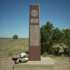
Autograph Cliff, cliff in Cimarron County, Oklahoma, United States of America
Location: Cimarron County
Elevation above the sea: 1,257 m
GPS coordinates: 36.83250,-102.64944
Latest update: May 8, 2025 14:46
Black Mesa
67.9 km
Rita Blanca National Grassland
44.6 km
Sierra Grande
110.3 km
Black Mesa State Park
20.6 km
Rabbit Ears
57.9 km
Clayton Lake State Park
65.1 km
Picture Canyon
21.6 km
Texhomex
48.5 km
8 Mile Corner
56.9 km
Cimarron County Courthouse
16.7 km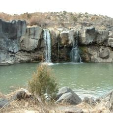
Folsom Falls
109.8 km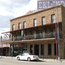
Eklund Hotel
63.9 km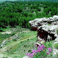
Point of Rocks
70 km
Luna Theater
64 km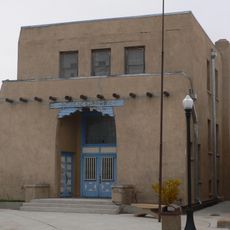
Clayton Public Library
63.8 km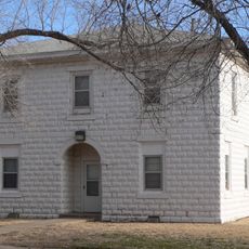
Franklin Hall
94.3 km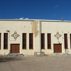
Amistad Gymnasium
111.3 km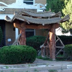
Gate, Fence and Hollow Tree Shelter Designed by Dionicio Rodriguez
63.6 km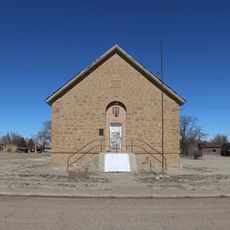
Springfield Schoolhouse
64 km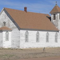
Stonington First Methodist-Episcopal Church
65.8 km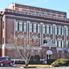
Texas County Courthouse
105.5 km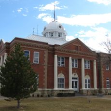
Union County Courthouse
64.2 km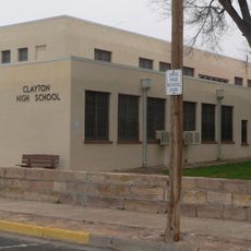
Clayton Public Schools Historic District
63.5 km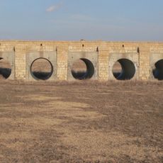
Morton County WPA Bridge
85.9 km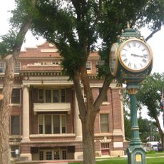
Dallam County Courthouse
86.6 km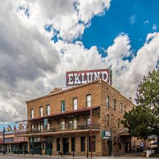
Eklund Hotel Historic Site
63.9 km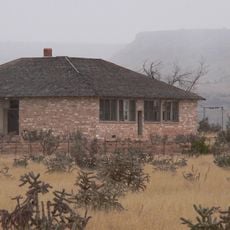
Goodson Memorial School
40.5 km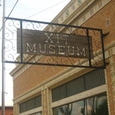
XIT Museum
86.6 kmReviews
Visited this place? Tap the stars to rate it and share your experience / photos with the community! Try now! You can cancel it anytime.
Discover hidden gems everywhere you go!
From secret cafés to breathtaking viewpoints, skip the crowded tourist spots and find places that match your style. Our app makes it easy with voice search, smart filtering, route optimization, and insider tips from travelers worldwide. Download now for the complete mobile experience.

A unique approach to discovering new places❞
— Le Figaro
All the places worth exploring❞
— France Info
A tailor-made excursion in just a few clicks❞
— 20 Minutes