Litovel, town in the Czech Republic
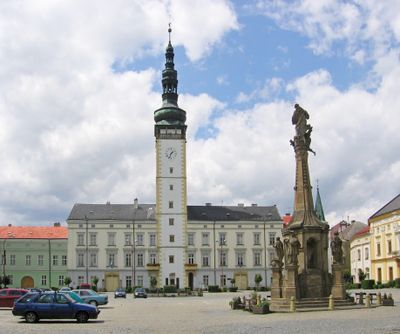
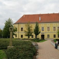
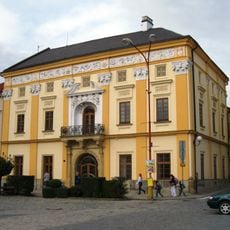
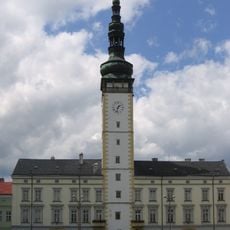
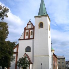
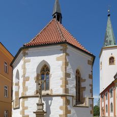
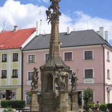
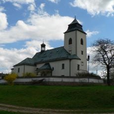
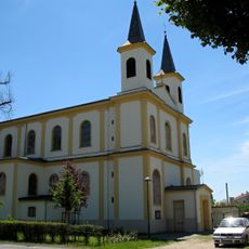
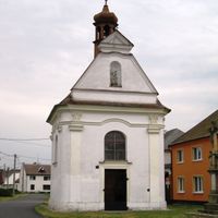
Litovel is a small town in the Olomouc District of the Czech Republic, crossed by six branches of the Morava River. Its center has a market square with a tall town hall tower, stretches of old city wall, several churches, and a stone bridge dating back to the 16th century.
The town was first recorded in 1287 and is believed to have been established by King Premysl Otakar II in the 13th century. Its fortifications, churches, and bridges were built and rebuilt over the following centuries, giving the center the form it still has today.
Litovel is sometimes called the Venice of Haná because of the six river branches that run directly through its streets. Bridges connect the different parts of the center, and walking from one to another gives a sense of how the water shapes the layout of the town.
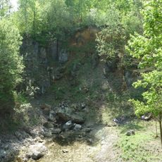
The historic center is compact and easy to walk, with most sights close to one another around the main square. Around the town there are also marked nature trails that lead to ponds and green areas outside the built-up center.
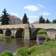
The Svatojánský bridge, built in 1592, is considered the oldest stone bridge still in use on the Morava River. Its thick pillars helped it survive repeated floods that destroyed other crossings, and it still carries foot traffic through the center today.
The community of curious travelers
AroundUs brings together thousands of curated places, local tips, and hidden gems, enriched daily by 60,000 contributors worldwide.