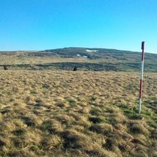
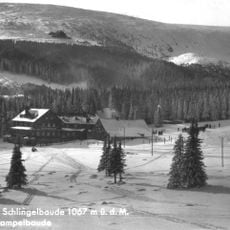
Smogornia, Mountain summit in Karkonosze Mountains, Poland.
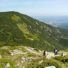
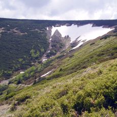
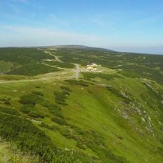
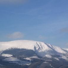
Mittagsberg (Smogornia, Stříbrný hřbet) reaches 1,490 m on the Polish-Czech border in the Karkonosze. Its summit is a flat remnant of a granite erosion surface covered with dwarf pine and mountain meadows, while the slopes fall steeply: an avalanche path on the Polish north side, the Wielki Staw and Mały Staw glacial cirques below the east slope, and blockfields on the south.
The summit lies on the Polish-Czech border, a few dozen metres north of the state line, and its massif is built of Karkonosze granite. The old border footpath that crossed the flat, pine-grown top is becoming overgrown and is closed as Zone I of the Karkonosze National Park. The German name Mittagsberg and the Czech Stříbrný hřbet appear alongside the Polish Smogornia on maps of the range.
The mountain's Polish name, Smogornia, and Czech name, Stříbrný hřbet, mean "silver ridge," referring to the silver fir once common on its slopes. The red-marked Cesta česko-polského přátelství (Path of Czech-Polish Friendship) passes about 300 meters north of the summit, and the granite rock Słonecznik (Polední kámen) stands 600 meters northeast.
The summit itself is restricted from visitor access, but a red-marked trail runs roughly 300 meters north of the highest point. From this route, you can view the peak up close and observe the northern slopes from a good vantage point.
The summit lies on the Polish-Czech border, but no marked path reaches it; an old border footpath crosses it and is now overgrown and closed as zone I of the Karkonosze National Park. About 600 m northeast stands Słonecznik, a 12 m granite rock also called Polední kámen or Mittagstein.
The community of curious travelers
AroundUs brings together thousands of curated places, local tips, and hidden gems, enriched daily by 92,110 contributors worldwide.