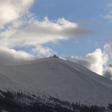
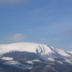
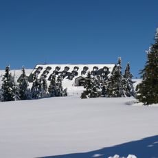
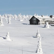
Mapa republiky, Snow field on Studniční hora, Pec pod Sněžkou, Czech Republic.
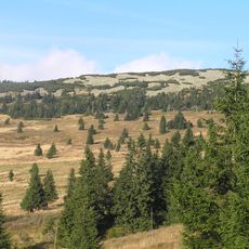
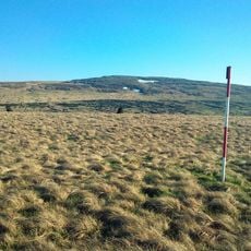
Mapa republiky is a snow field on the southern slope of Studniční hora mountain that holds its white surface through extended winter periods. The formation spans several hundred meters across the mountainside.
The formation gained recognition in the early 1900s because its natural shape resembles the territorial outline of the First Czechoslovak Republic. This resemblance connected the snow field to the region's national identity.
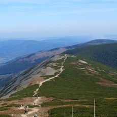
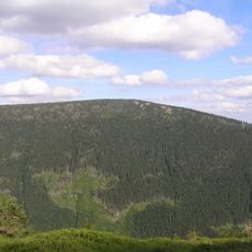
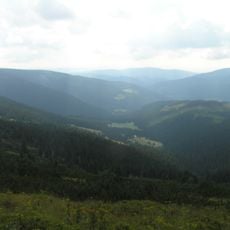
Local mountaineers watch the snow field as a natural sign of seasonal changes across the Krkonoše region. Hikers notice and talk about its shape when they pass through the slopes.
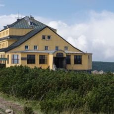
The snow field is reachable by marked hiking trails from Pec pod Sněžkou and is best seen during winter and spring months. Visibility depends on weather conditions, with cloudy days making the white surface less distinct.
The natural snow accumulation creates a pattern that resembles a geographical map and gives the region a special character. This phenomenon occurs because of the mountain shape and wind patterns that gather snow in this distinctive way.
The community of curious travelers
AroundUs brings together thousands of curated places, local tips, and hidden gems, enriched daily by 60,000 contributors worldwide.