Polish–Czech Friendship Trail, public walking path in the Giant Mountains
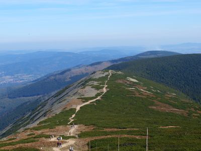
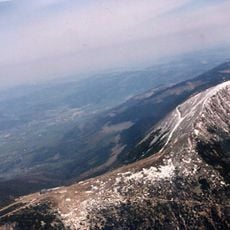
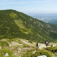
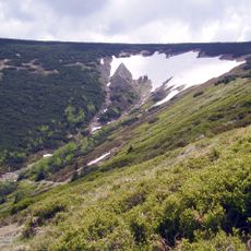
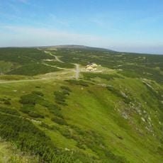
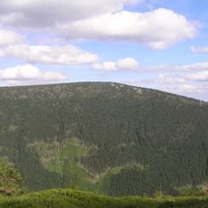
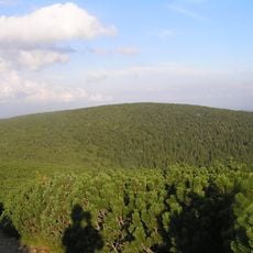
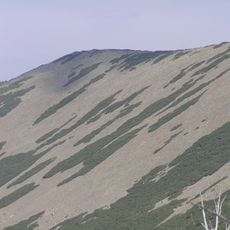
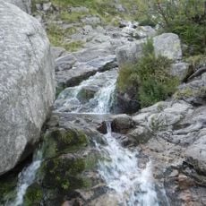
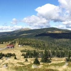
The Polish-Czech Friendship Trail is a clearly marked long-distance hiking route that runs through the Giant Mountains, connecting several small towns including Rokytnice nad Jizerou, Špindlerův Mlýn, Pec pod Sněžkou, and Malá Úpa. The path winds through forests, open meadows, and rocky outcrops on narrow well-defined trails that pass through wooded areas and grassy slopes.
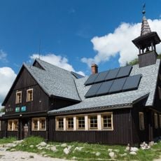
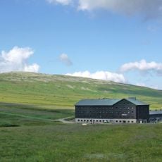
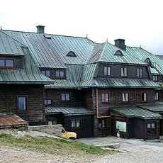
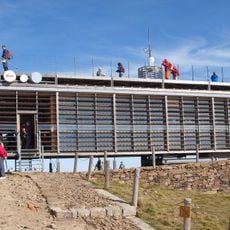
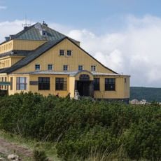
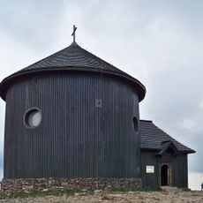
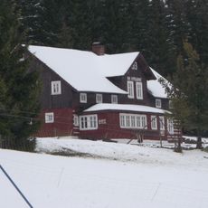
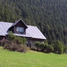
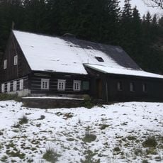
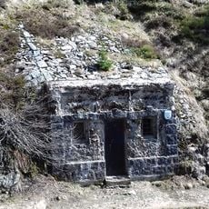
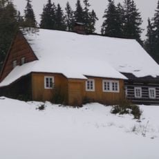
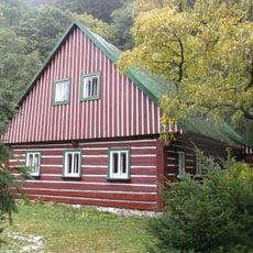
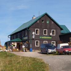
The trail developed over recent decades to foster friendship and cooperation between Poland and the Czech Republic. Along the way, hikers encounter traces of earlier times, such as old mountain huts and small chapels that reveal how people lived and worked in this mountain region across generations.
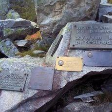
The trail's name reflects friendship between Poland and the Czech Republic, serving as a shared space where people from both countries meet and walk together in the Giant Mountains. Visitors experience this cross-border character directly when encountering markers and small monuments that celebrate this connection.
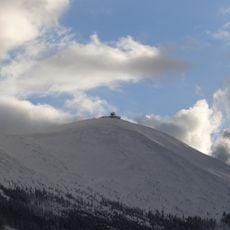
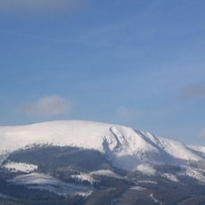
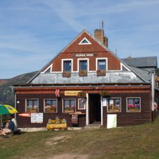
The route is well marked and accessible year-round, making it suitable for people of various ages and fitness levels. Winter snow may cover parts of the trail, allowing for snowshoeing or cross-country skiing, and several small towns along the way offer rest stops with shops and cafes.
Many visitors overlook that they walk back and forth between two countries during their hike, as the border has few obvious physical markers. This invisible line gives the walk a subtle, reflective quality that hikers often discover when they encounter boundary signs.
The community of curious travelers
AroundUs brings together thousands of curated places, local tips, and hidden gems, enriched daily by 60,000 contributors worldwide.