
International Boundary US-Canada Monuments
International Boundary US-Canada Monuments
Location: Whatcom County
Location: Fraser Valley Regional District
GPS coordinates: 49.00022,-121.06408
Latest update: September 23, 2025 14:47
E. C. Manning Provincial Park
21.8 km
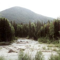
Desolation Peak
10.5 km
Ross Lake
20.8 km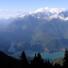
Ross Lake National Recreation Area
23.8 km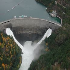
Ross Dam
29.9 km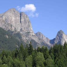
Hozomeen Mountain
4.3 km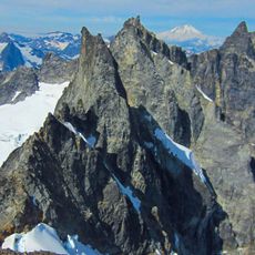
Mount Terror
30.4 km
Jack Mountain
26.5 km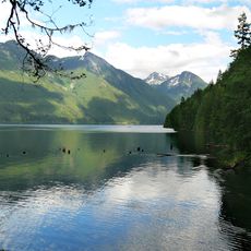
Chilliwack Lake Provincial Park
25.7 km
Luna Peak
24.3 km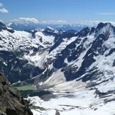
Mount Fury
28.3 km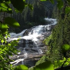
Depot Creek Falls
16.3 km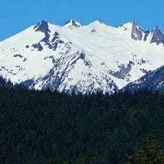
Mount Prophet
18.3 km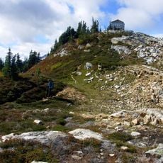
Sourdough Mountain
28 km
Sourdough Mountain Lookout
28.9 km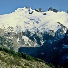
Challenger Glacier
26.9 km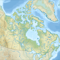
Sumallo River
24.1 km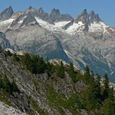
Mount Degenhardt
30.5 km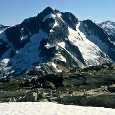
Whatcom Peak
27.7 km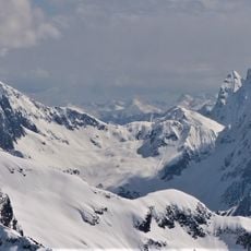
Phantom Peak
28.7 km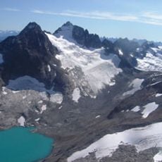
Silver Glacier
13.3 km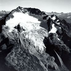
Nohokomeen Glacier
25.5 km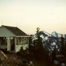
Copper Mountain
30.2 km
Whatcom Glacier
26.8 km
Desolation Peak Lookout
10.5 km
Hozomeen Cabin
1.7 km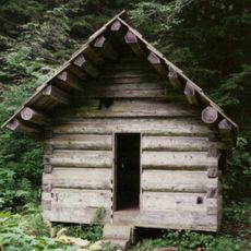
Deer Lick Cabin
12.7 km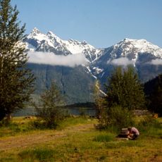
Hozomeen Campground
1.8 kmReviews
Visited this place? Tap the stars to rate it and share your experience / photos with the community! Try now! You can cancel it anytime.
Discover hidden gems everywhere you go!
From secret cafés to breathtaking viewpoints, skip the crowded tourist spots and find places that match your style. Our app makes it easy with voice search, smart filtering, route optimization, and insider tips from travelers worldwide. Download now for the complete mobile experience.

A unique approach to discovering new places❞
— Le Figaro
All the places worth exploring❞
— France Info
A tailor-made excursion in just a few clicks❞
— 20 Minutes