
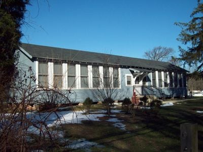
Marley Neck Rosenwald School
Marley Neck Rosenwald School
Location: Anne Arundel County
GPS coordinates: 39.16420,-76.56470
Latest update: March 12, 2025 17:40
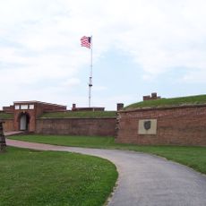
Fort McHenry
11.1 km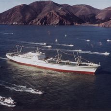
NS Savannah
10.5 km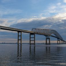
Francis Scott Key Bridge
6.7 km
SS John W. Brown
11.5 km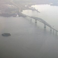
Fort Carroll
6.8 km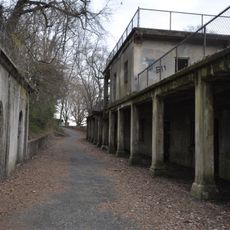
Fort Howard
11.1 km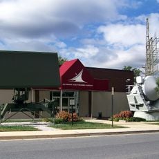
National Electronics Museum
10.9 km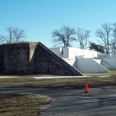
Fort Smallwood Park
7.6 km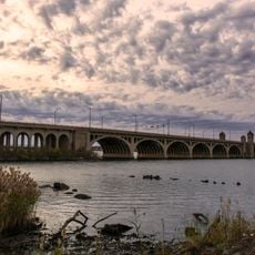
Hanover Street Bridge
11.3 km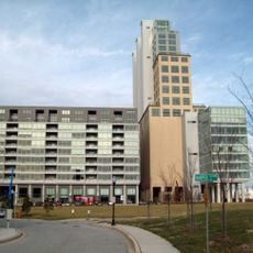
Silo Point
12.2 km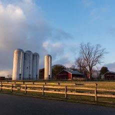
Kinder Farm Park
7.2 km
Coca-Cola Baltimore Branch Factory
12 km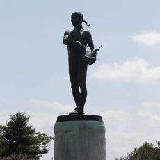
Orpheus with the Awkward Foot
11.2 km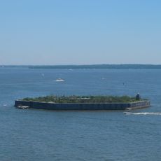
Fort Carroll Light
6.8 km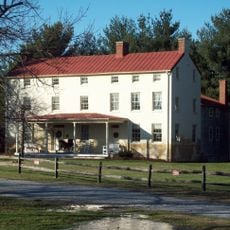
Benson-Hammond House
8.3 km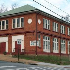
Polish Home Hall
7.2 km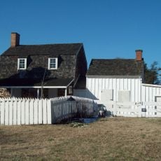
Hancock's Resolution
10.7 km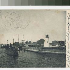
Lazaretto Point Light
10.9 km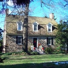
Robinson House
8.4 km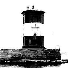
Craighill Channel Upper Range Front Light
10.7 km
Craighill Channel Upper Range Rear Light
10.5 km
Turkey Hill
9 km
Sunnyfields
7.7 km
Linthicum Heights Historic District
9.1 km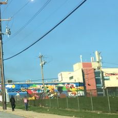
Cherry Hill Branch
10.8 km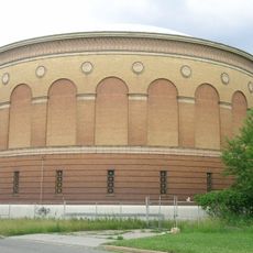
Curtis Bay Water Tank
7.2 km
Broening Park
10.8 km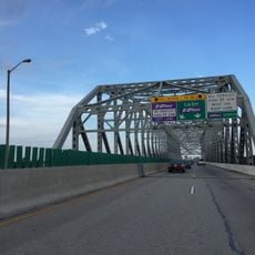
I-895 Curtis Bay Steel Bridge
9 kmVisited this place? Tap the stars to rate it and share your experience / photos with the community! Try now! You can cancel it anytime.
Discover hidden gems everywhere you go!
From secret cafés to breathtaking viewpoints, skip the crowded tourist spots and find places that match your style. Our app makes it easy with voice search, smart filtering, route optimization, and insider tips from travelers worldwide. Download now for the complete mobile experience.

A unique approach to discovering new places❞
— Le Figaro
All the places worth exploring❞
— France Info
A tailor-made excursion in just a few clicks❞
— 20 Minutes