Hancock's Resolution, Historic farm in Anne Arundel County, United States
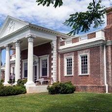
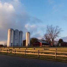
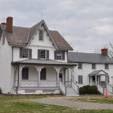
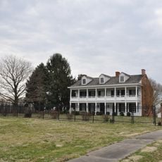
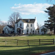
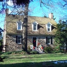
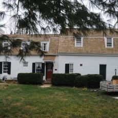
Hancock's Resolution is a stone farmhouse with two stories, a gambrel roof, shingled dormers, and interior end chimneys sitting on a 15-acre parcel near Pasadena. The building displays the practical residential design of rural homes from this era, with supporting structures that served the farming operation.
Stephen Hancock Jr. constructed the original stone core as the primary dwelling for a 410-acre estate in 1785, with expansions added during 1855 and 1900. The property remained under family ownership and operation until 1960, when it was donated to Anne Arundel County for long-term preservation.
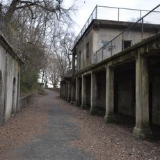
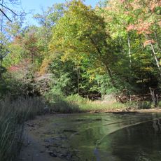
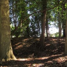
The original outbuildings on the grounds, including a stone dairy structure and family burial ground, tell the story of how this family managed their agricultural operations and lived on the land over generations.
The house is located at 2795 Bayside Beach Road in Pasadena and open for visitors to learn about farming methods from the 1700s and 1800s. Guided tours provide explanations of how the household operated and managed its agricultural activities.
The property remained continuously under Hancock family ownership until the 1960s, when they donated it to the county rather than selling it to developers. This act of preservation by the family themselves was crucial in keeping the estate intact for public education.
The community of curious travelers
AroundUs brings together thousands of curated places, local tips, and hidden gems, enriched daily by 60,000 contributors worldwide.