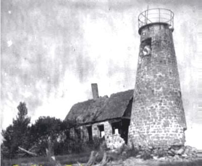
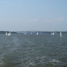
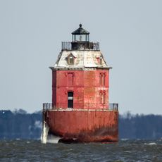
Bodkin Island Light, Historical lighthouse at Chesapeake Bay entrance, Maryland.
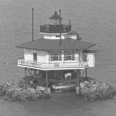
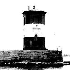
Bodkin Island Light was a stone tower with a tapered conical shape that stood at the entrance to Chesapeake Bay. The structure included a keeper's residence attached to the base and served as a navigation guide for ships entering the waterway toward Baltimore.
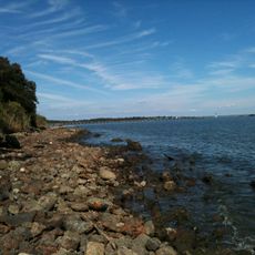
The tower began operation in 1822 as Maryland's first lighthouse, equipped with oil lamps designed to guide maritime traffic. The structure disappeared in 1914 when coastal erosion submerged the entire island beneath the bay.
Multiple keepers maintained the lighthouse operations throughout its existence, including John Gray, Araminta Gray, and George McCutchen between 1822 and 1856.
The site is now visible only from the water and marked on nautical charts as a hazard to navigation. Visitors can explore this location by boat or view historical maps and documentation to understand where it once stood.
The island that housed this beacon completely submerged beneath the bay, yet it remains marked on navigation charts as a hazard for modern ships. This underwater location serves as a reminder of how water erosion has transformed the bay's geography over time.
The community of curious travelers
AroundUs brings together thousands of curated places, local tips, and hidden gems, enriched daily by 60,000 contributors worldwide.