Fort Smallwood Park, Military heritage park in Anne Arundel County, United States.
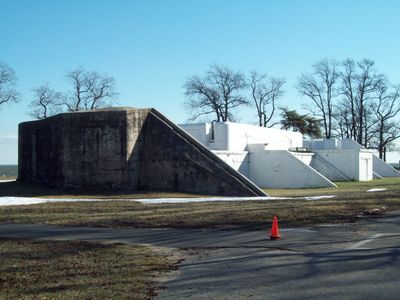
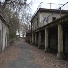
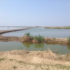
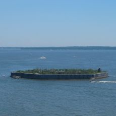
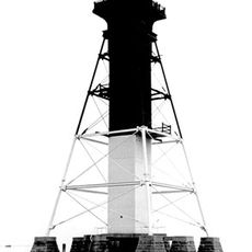
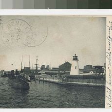
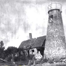
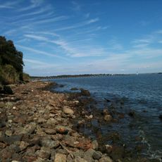
Fort Smallwood Park is a 90-acre park on a peninsula where the Patapsco River and Rock Creek meet the Chesapeake Bay. The grounds feature walking trails, sandy beaches, playgrounds, and preserved gun batteries from its days as a coastal defense site.
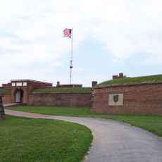
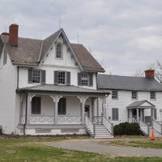
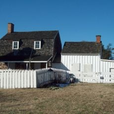
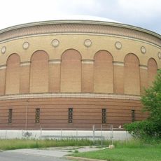
The fort operated from 1890 to 1927 as a coastal defense site and was named after Major General William Smallwood, who led Maryland forces during the American Revolution. The facility was part of the region's military infrastructure during the late 1800s and early 1900s.
The park is named after General William Smallwood from the American Revolution, and this historical connection shapes how people understand the place today. Anglers and boaters continue to use the grounds as an important gathering spot for their activities.
The park features walking trails, boat ramps, and recreation facilities including sports courts and a fishing pier. Visitors should keep in mind that tides affect beach access and that early morning and evening are the best times for fishing.
The 380-foot fishing pier was renamed in 2009 to honor Bill Burton, a longtime outdoor columnist for the Baltimore Sun who documented the region's fishing culture for decades. This tribute connects the location to local media history and the people who shaped its reputation as an angling destination.
The community of curious travelers
AroundUs brings together thousands of curated places, local tips, and hidden gems, enriched daily by 60,000 contributors worldwide.