Mount Townsend, Mountain summit in Jefferson County, United States.
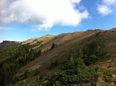
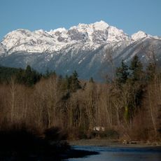
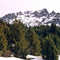
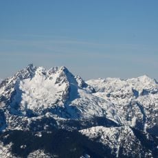
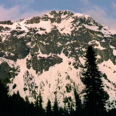
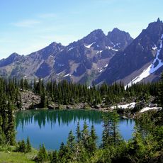
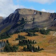
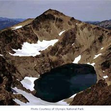
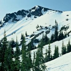
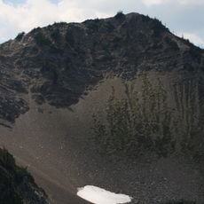
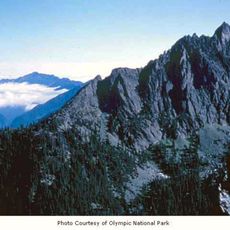
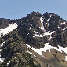
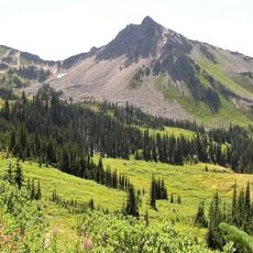
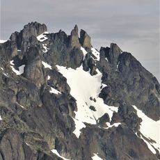
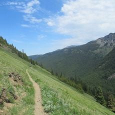
Mount Townsend is a mountain in the Olympic range that rises to 1,914 meters (6,280 feet) with forested lower slopes that transition into alpine meadows toward the summit. The peak sits along the border between Jefferson and Clallam counties, creating a landscape where different plant zones appear as you gain elevation.
Indigenous peoples traveled routes across this mountain long before European settlers arrived in the late 1800s. The peak was part of traditional pathways that connected hunting and gathering grounds across the Pacific Northwest landscape.
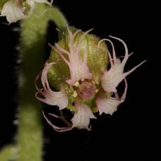
The mountain serves as an educational site where visitors learn about Pacific Northwest ecosystems through interpretive programs and guided nature walks.
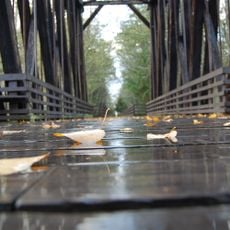
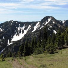
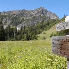
The trail requires sturdy hiking boots and layers for changing weather, especially as you climb higher where conditions shift quickly. Starting early helps you make the most of daylight hours for this all-day journey.
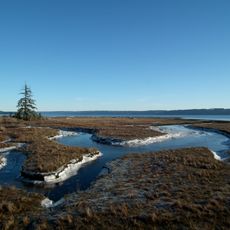
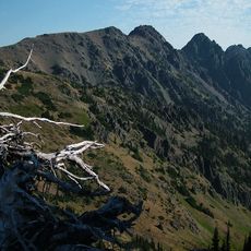
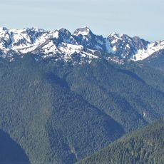
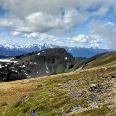
On clear days, the summit offers views of four distinct geographical features at once: the Strait of Juan de Fuca, the San Juan Islands, the Olympic Mountains, and the Cascade Range. This combination makes it a special vantage point in the region.
The community of curious travelers
AroundUs brings together thousands of curated places, local tips, and hidden gems, enriched daily by 60,000 contributors worldwide.