Enable Location

We need your location to show you interesting places around you

Discover nearby places

Find interesting locations and hidden gems around you

Precise directions

Get accurate directions and distances to places

Your location is never shared with other users. It's only used when you tap the location button.

Wallabout Historic District

Log in to your account

Start exploring — it's free

Trusted by 62,511 travelers worldwide

Continue with Google
Continue with Apple
or

We will send you a code to connect

By continuing, you accept our Terms and Conditions and our Privacy Policy

Check your inbox

We've sent a pincode in your inbox. Please enter the code below.

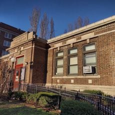
Wallabout Historic District, historic district in New York City, New York

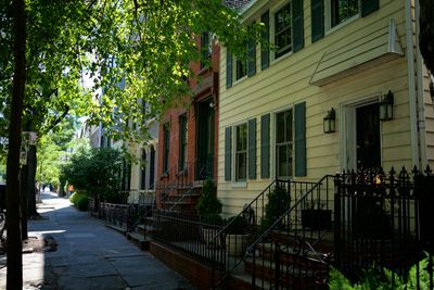
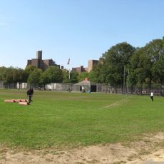
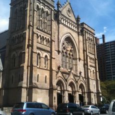
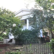
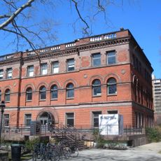
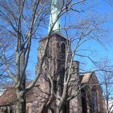
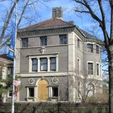
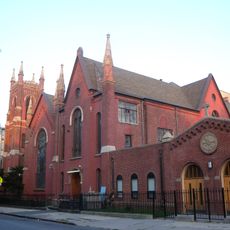
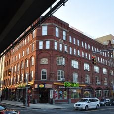
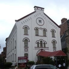
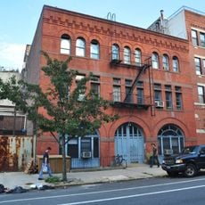
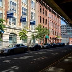
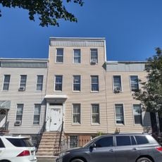
Wallabout Historic District is a neighborhood in Brooklyn containing historic buildings that show the area's industrial past and residential development. It spans multiple blocks and includes homes, factory buildings, and other structures that reflect how this part of the city was built and used over time.

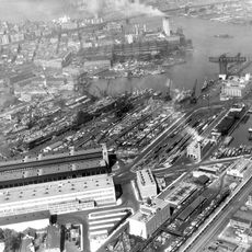
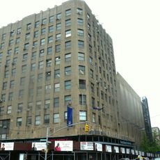
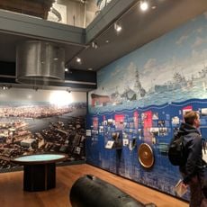
The district developed near the Brooklyn Navy Yard, which was a major center for shipbuilding and industrial work. The buildings that remain today date from when factories operated here and workers lived in the surrounding neighborhood.

The neighborhood's name comes from its Dutch heritage and early settlers. The old buildings and street layout show how factories and homes existed side by side, shaping how people lived and worked in this area.

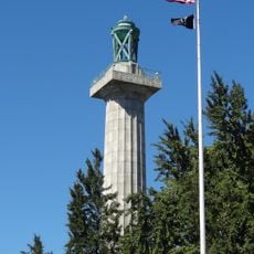
The district is best explored on foot to see how the historic buildings relate to each other along the streets. Maps and walking tours are available to help visitors navigate the area and learn more about its significance.

Protection of the district happened in two stages starting in 2011, when the first section along Vanderbilt Avenue gained official recognition. A year later, a larger adjacent area called Industrial Wallabout was also formally recognized and marked with signs.

The community of curious travelers

AroundUs brings together thousands of curated places, local tips, and hidden gems, enriched daily by 60,000 contributors worldwide.

Start exploring
Location
Location
Address
73-83 & 123-141 Cleremont;74-148 & 75-143 Clinton;381-387, 403-421 & 455-461 Myrtle;74-132 & 69-149 Vanderbilt Aves.
GPS coordinates
40.69444,-73.97000
Latest update
February 9, 2026 07:42
Around this place
Brooklyn Navy Yard
United States of America

Brooklyn Navy Yard

971 m
Brooklyn Technical High School
United States of America

Brooklyn Technical High School

852 m
New York City steam system
United States of America

New York City steam system

747 m
Brooklyn Academy of Music
United States of America

Brooklyn Academy of Music

1.1 km
Prison Ship Martyrs' Monument
United States of America

Prison Ship Martyrs' Monument

557 m
Bishop Loughlin Memorial High School
United States of America

Bishop Loughlin Memorial High School

842 m
Fort Greene Park
United States of America

Fort Greene Park

544 m
Kehilas Yetev Lev D'Satmar
United States of America

Kehilas Yetev Lev D'Satmar

934 m
Commodore Barry Park
United States of America

Commodore Barry Park

851 m
Brooklyn Paramount Theater
United States of America

Brooklyn Paramount Theater

1 km
Emmanuel Baptist Church
United States of America

Emmanuel Baptist Church

762 m
United States of America

BRIC Arts Media

1 km
Lefferts-Laidlaw House
United States of America

Lefferts-Laidlaw House

94 m
Pratt Institute Libraries
United States of America

Pratt Institute Libraries

580 m
St. Mary's Episcopal Church
United States of America

St. Mary's Episcopal Church

773 m
Caroline Ladd Pratt House
United States of America

Caroline Ladd Pratt House

406 m
Fort Greene Historic District
United States of America

Fort Greene Historic District

670 m
Strand Theatre
United States of America

Strand Theatre

1 km
Clinton Hill Historic District
United States of America

Clinton Hill Historic District

897 m
Rockwood Chocolate Factory Historic District
United States of America

Rockwood Chocolate Factory Historic District

258 m
Apostolic Faith Mission
United States of America

Apostolic Faith Mission

769 m
Feuchtwanger Stable
United States of America

Feuchtwanger Stable

281 m
Wallabout Industrial Historic District
United States of America

Wallabout Industrial Historic District

379 m
Building 92
United States of America

Building 92

509 m
99 Ryerson Street
United States of America

99 Ryerson Street

419 m
Walt Whitman Library
United States of America

Walt Whitman Library

653 m
Peerless Theater
United States of America

Peerless Theater

194 m
Clinton Hill Library
United States of America

Clinton Hill Library

859 m
Show the full map
« Wallabout Historic District - historic district in New York City, New York » is provided by Around Us (aroundus.com). Images and texts are derived from Wikimedia project under a Creative Commons license. You are allowed to copy, distribute, and modify copies of this page, under the conditions set by the license, as long as this note is clearly visible.

Discover hidden gems everywhere you go!

From secret cafés to breathtaking viewpoints, skip the crowded tourist spots and find places that match your style. Our app makes it easy with voice search, smart filtering, route optimization, and insider tips from travelers worldwide. Download now for the complete mobile experience.

Around Us App Screenshot

A unique approach to discovering new places

Le Figaro

All the places worth exploring

France Info

A tailor-made excursion in just a few clicks

20 Minutes

Around Us
Travel Guide & Maps
Download

Send to your phone

QR Code
1

Open the camera app on your mobile.

2

Point at the QR code with your camera. A notification will appear.

3

Tap the notification to open the link.