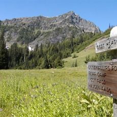
Mount Queets, Mountain summit in Olympic National Park, United States.
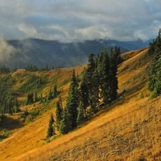
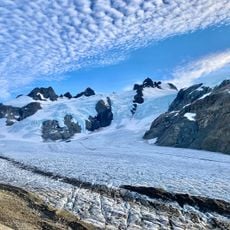
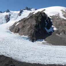
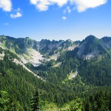
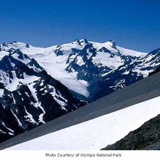
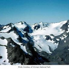
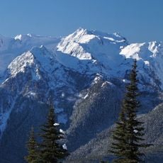
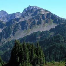
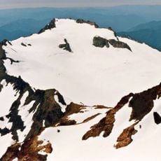
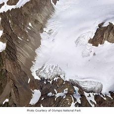
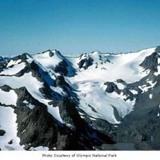
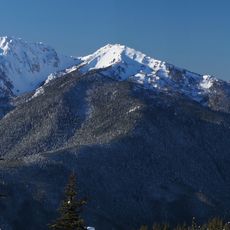
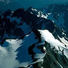
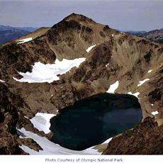
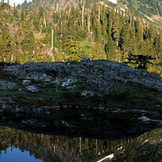
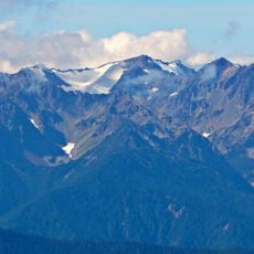
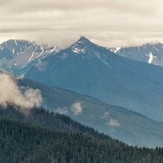
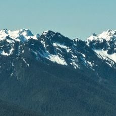
Mount Queets is a summit in the Olympic National Park rising to approximately 2,000 meters, located within Jefferson County in Washington. The peak features the Queets Glacier on its northern flank and stands amid dense coniferous forest.
The mountain was previously called Mt. Mesachie and Mt. Hearst on early maps before being renamed after the Queets River. This shift in nomenclature reflects how the region was mapped and understood over different periods.
The name "Queets" comes from the Quai'tso (Queets) tribe and first appeared on the Surveyor General's map of Washington Territory for the Queets River, then passed to the glacier that feeds the river. The 1896 Gilman map instead labelled this peak and Mount Meany together as Mt. Mesachie, from the Chinook Jargon word for "wicked".
The summit can be reached via several routes, with the North Ridge providing a more straightforward approach and the glacier route requiring more technical skill. Visitors should expect changeable mountain weather and wet conditions, especially during wetter seasons.
The 1896 Gilman National Geographic Map labelled the combined Mount Meany–Mount Queets area "Mt. Mesachie", from a Chinook Jargon word meaning "wicked". During the 1889–90 Seattle Press Expedition the peak was called "Mt. Hearst" after William Randolph Hearst, owner of the San Francisco Examiner.
The community of curious travelers
AroundUs brings together thousands of curated places, local tips, and hidden gems, enriched daily by 92,761 contributors worldwide.