
Rupert State Forest, Forest in Vermont, Ubited States
Location: Rupert
Inception: 1959
GPS coordinates: 43.23200,-73.14800
Latest update: May 12, 2025 01:24
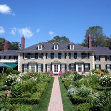
Hildene
11.6 km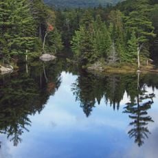
Green Mountain National Forest
80.2 km
Equinox Mountain
7.7 km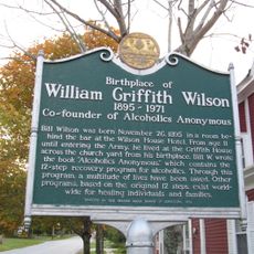
Bill Wilson House
11.3 km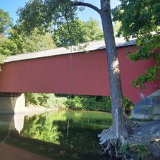
Eagleville Bridge
21.3 km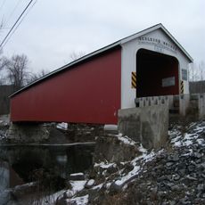
Rexleigh Bridge
20 km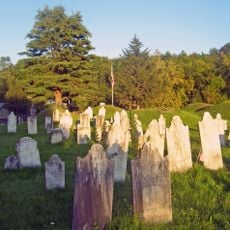
Revolutionary War Cemetery
16.4 km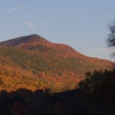
Mount Aeolus
8.9 km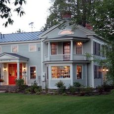
The American Museum of Fly Fishing
9.7 km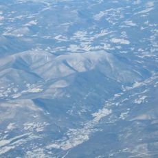
Dorset Mountain
13 km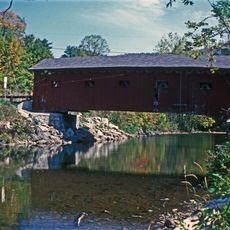
Arlington Green Covered Bridge
15.4 km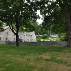
Manley-Lefevre House
4.9 km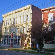
Salem Historic District
16 km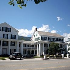
Equinox House Historic District
9.9 km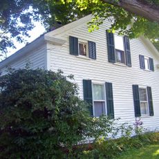
Lemuel Haynes House
19 km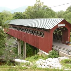
Chiselville Covered Bridge
17.8 km
South Granville Congregational Church
19.2 km
East Arlington Village Historic District
19 km
Dorset Village Historic District
4.7 km
South Granville Congregational Church and Parsonage
19.2 km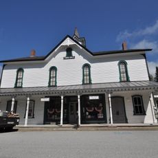
Pawlet Town Hall
12.9 km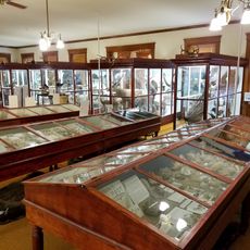
Pember Library and Museum
21.5 km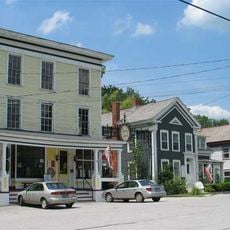
Danby Village Historic District
17.8 km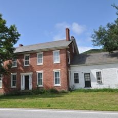
Nathan Allen House
14.8 km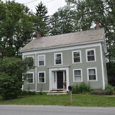
Amos Lawrence House
10.7 km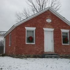
Braintree School
16.8 km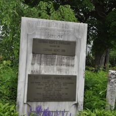
Kent Neighborhood Historic District
4.1 km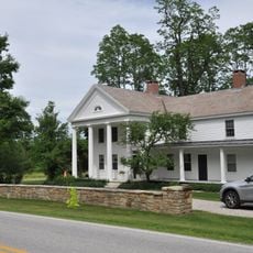
Hard Farm Homestead
12.5 kmReviews
Visited this place? Tap the stars to rate it and share your experience / photos with the community! Try now! You can cancel it anytime.
Discover hidden gems everywhere you go!
From secret cafés to breathtaking viewpoints, skip the crowded tourist spots and find places that match your style. Our app makes it easy with voice search, smart filtering, route optimization, and insider tips from travelers worldwide. Download now for the complete mobile experience.

A unique approach to discovering new places❞
— Le Figaro
All the places worth exploring❞
— France Info
A tailor-made excursion in just a few clicks❞
— 20 Minutes