Iraq–Kuwait border, international border
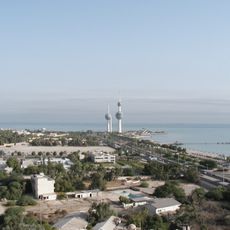
The Iraq-Kuwait border is a 254-kilometer land boundary separating two countries in the Middle East, marked by checkpoints on each side and including maritime areas where water forms the division. The landscape is mostly flat desert with sparse vegetation and few settlements directly at the boundary line.
The border was shaped by the Gulf War in the early 1990s, which fundamentally reshaped relations between the two nations. Over time, crossing restrictions have eased for some routes, reflecting efforts toward normalizing ties after decades of separation and tension.
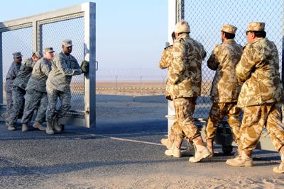
Crossing requires a strict procedure with document checks and security inspections on both sides, and travelers should have all required documents ready and expect waiting times. Early morning crossings tend to move faster than later in the day.
Travelers walk between border buildings on the Iraqi side while buses transport people through multiple checkpoints on the Kuwaiti side. These different crossing methods reflect the distinct infrastructure and administrative procedures of each country.
The community of curious travelers
AroundUs brings together thousands of curated places, local tips, and hidden gems, enriched daily by 60,000 contributors worldwide.