Mainland Southeast Asia, Geographic peninsula in Southeast Asia.
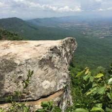
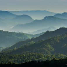
Mainland Southeast Asia is a peninsula between the Indian Ocean and the Pacific that covers Cambodia, Laos, Myanmar, Thailand, Vietnam and the Malay Peninsula. The territory is crossed by mountain ranges and wide river valleys that extend parallel from north to south.
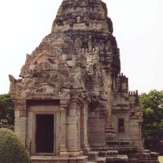
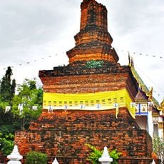
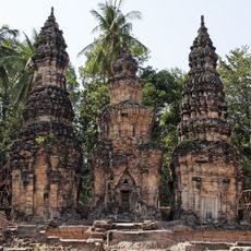
The region was already inhabited in prehistoric times and developed kingdoms like Angkor, Pagan and Ayutthaya over thousands of years. In the 19th century almost all countries fell under European colonial rule, from which they freed themselves only in the 20th century.
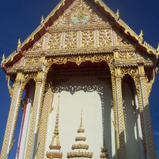
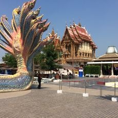
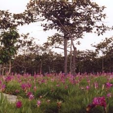
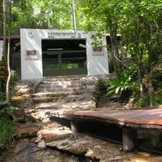
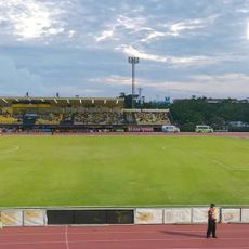
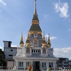
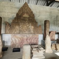
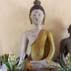
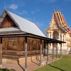
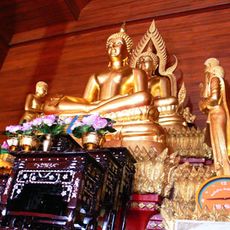
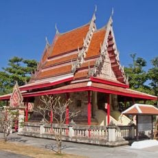
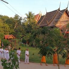
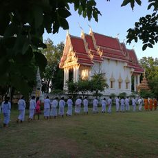
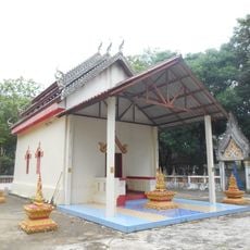
The name Indochina originated in the 19th century and describes the cultural influence India and China had on this territory. Today many places show temples, markets and festivals that connect Buddhist traditions with local customs.
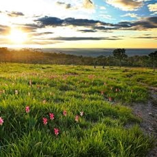
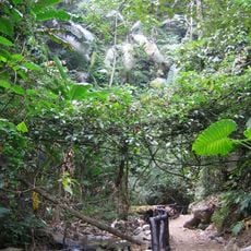
The territory lies between tropical monsoon climate and equatorial climate with distinct rainy and dry seasons that vary by region. Travelers should note that infrastructure differs greatly between urban centers and rural areas.
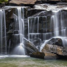
The Irrawaddy, Chao Phraya and Mekong all flow southward and form wide deltas that rank among the most fertile rice-growing regions in Asia. Mount Hkakabo in northern Myanmar reaches 5,881 meters (19,295 feet) and is the highest point of the peninsula.
The community of curious travelers
AroundUs brings together thousands of curated places, local tips, and hidden gems, enriched daily by 60,000 contributors worldwide.