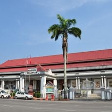
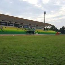
Kota Bharu, Administrative center in northern Peninsular Malaysia
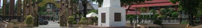
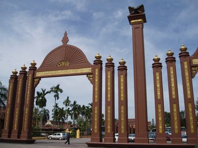
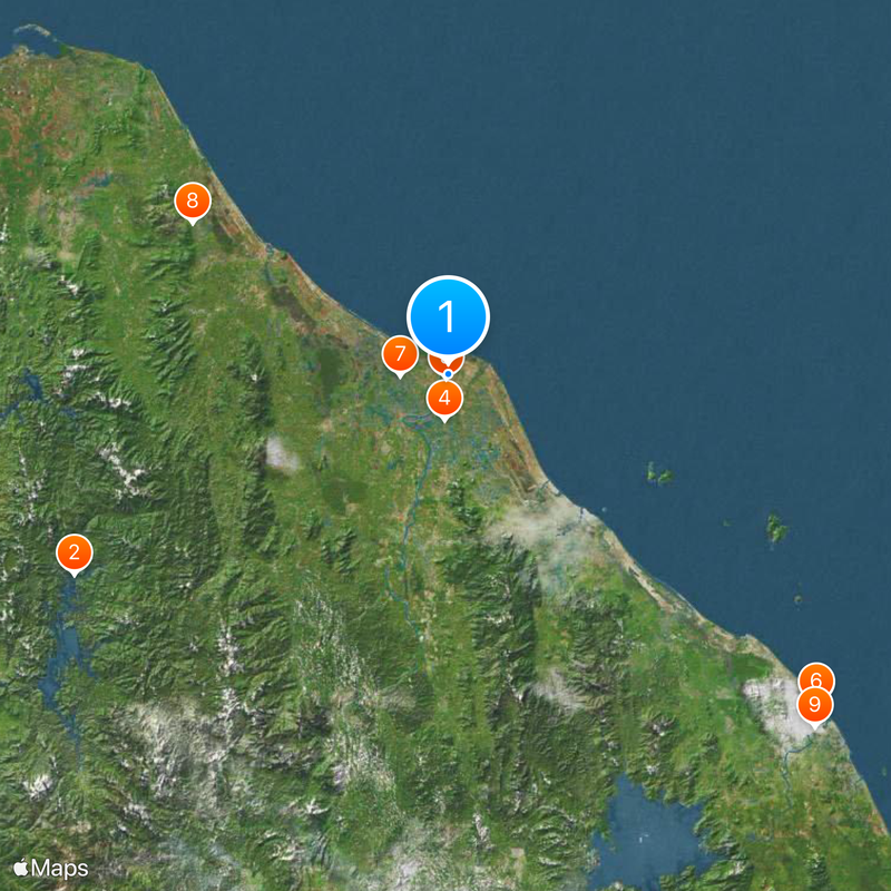
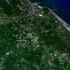
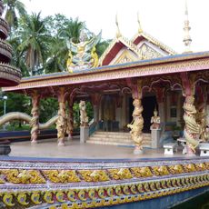
Kota Bharu is an administrative center in northern Peninsular Malaysia that sits on the eastern bank of the Kelantan River. The town occupies a fertile agricultural zone near the Thai border and connects rural surroundings with urban infrastructure.
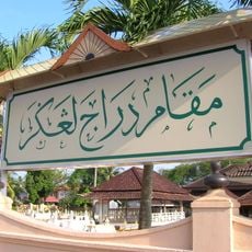
Japanese troops launched their invasion of the Malay Peninsula by capturing the town on December 10, 1941, shortly before the attack on Pearl Harbor. This military push marked the beginning of Japanese occupation in the region during World War II.
The Siti Khadijah Market takes its name from the Prophet's first wife and operates almost entirely with women vendors who sell fresh spices, batik cloth, and local sweets. Visitors see daily Kelantanese cooking habits here as women move between stalls choosing ingredients for traditional dishes.
Sultan Ismail Petra Airport offers connections to other cities in Malaysia, while roads lead toward Thailand and neighboring regions. Visitors find straightforward access here to rural areas and to border crossings in the north.
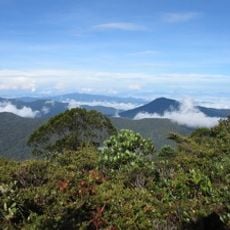
Industrial facilities in Pengkalan Chepa, a suburb south of the center, produce goods for regional and wider markets. These factories contrast with the rice paddies and palm plantations that shape much of the surrounding landscape.
The community of curious travelers
AroundUs brings together thousands of curated places, local tips, and hidden gems, enriched daily by 60,000 contributors worldwide.