Mount Chamah, Mountain summit in Gua Musang District, Kelantan, Malaysia.
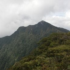
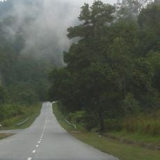
Mount Chamah is a mountain summit in the Titiwangsa Range that rises over 2,000 meters and ranks among the highest peaks on Peninsular Malaysia. The area is surrounded by dense forest with several established campsites positioned along the hiking route.
The mountain area remained closed to public access during the Communist Insurgency until a peace agreement was signed in the 1980s. This agreement eventually opened the region to visitors.
The name Gunung Chamah follows Malay naming, where gunung means mountain. The Orang Asli who live in the surrounding forest use Temenggor Lake as their route between Grik and Pos Kemar, and treks from Pos Simpoh or Pos Kuala Betis pass through their villages. Rafflesia flowers can be seen near these settlements.
The climb requires a lengthy off-road journey followed by several days of trekking with a backpack, so solid physical preparation is essential. Water is available at multiple points along the route but careful planning is still needed for hydration.
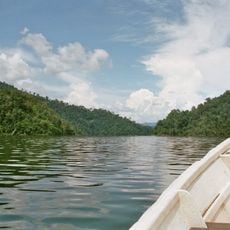
The single route to the outside world is a three-hour boat trip across Tasik Temenggor, the reservoir created in the 1970s when Malaysia dammed the upper Perak River and flooded part of the forest. Orang Asli communities still use the lake to travel between Grik and Pos Kemar.
The community of curious travelers
AroundUs brings together thousands of curated places, local tips, and hidden gems, enriched daily by 93,845 contributors worldwide.