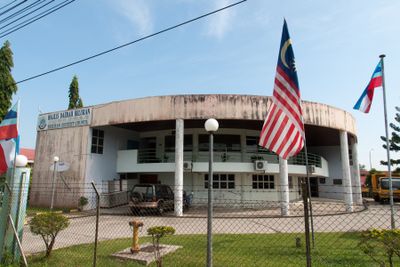
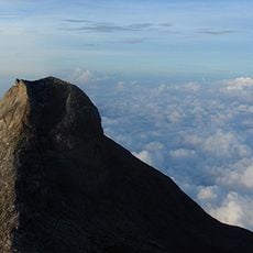
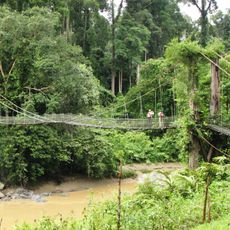
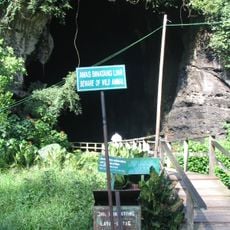
Beluran District, district in Sabah, Malaysia
Location: Sandakan Division
Shares border with: Pitas District, Kota Marudu District, Ranau District, Telupid District, Kinabatangan, Sandakan District
GPS coordinates: 5.87889,117.56194
Latest update: April 28, 2025 06:33
Kinabalu Park
105.4 km
Sepilok Orang Utan Rehabilitation Centre
42.9 km
Danum Valley Conservation Area
107.7 km
Gomantong Caves
69 km
Agnes Keith House
61.5 km
Kundasang War Memorial
109.8 km
Turtle Islands National Park
62.2 km
Maliau Basin
137.8 km
Tanjung Simpang Mengayau
157.6 km
Mount Trus Madi
121.6 km
Tabin Wildlife Reserve
138.5 km
Mount Tambuyukon
106.2 km
Agop Batu Tulug Caves
66.5 km
Puu Jih Shih Temple
58.3 km
Pu Tuo Si Temple
160.5 km
Sam Sing Kung Temple
61.3 km
St. Mary's Cathedral, Sandakan
61 km
Sandakan Jamek Mosque
61.8 km
Sandakan District Mosque
62.9 km
Sandakan Heritage Museum
61.5 km
Tam Kung Temple, Malaysia
60.9 km
Quailey's Hill Memorial
86.8 km
Sandakan War Monument
61.5 km
Chartered Company Monument
61.5 km
Mukim Tungku
160 km
Pogunon Community Museum
156.9 km
Tenompok Forest Reserve
116.8 km
Batu Sapi
53.9 kmReviews
Visited this place? Tap the stars to rate it and share your experience / photos with the community! Try now! You can cancel it anytime.
Discover hidden gems everywhere you go!
From secret cafés to breathtaking viewpoints, skip the crowded tourist spots and find places that match your style. Our app makes it easy with voice search, smart filtering, route optimization, and insider tips from travelers worldwide. Download now for the complete mobile experience.
A unique approach to discovering new places❞
— Le Figaro
All the places worth exploring❞
— France Info
A tailor-made excursion in just a few clicks❞
— 20 Minutes