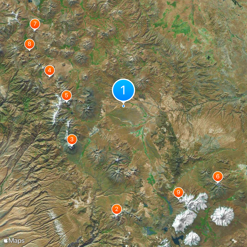
Chile–Peru border, International boundary in Arica y Parinacota Region, Chile and Tacna Department, Peru.
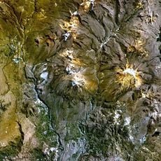
The Chile-Peru border spans about 169 kilometers from the Pacific coast inland through desert plains and rises into high-altitude Andean mountains. The line passes through areas ranging from sea level to elevations well above 13,000 feet (4,000 meters).
The Treaty of Lima in 1929 finalized the current border after decades of conflict over territorial claims between the two nations. This agreement resolved longstanding disputes that had started with the War of the Pacific and involved major changes to regional boundaries.
People on both sides of the border cross regularly to shop and attend local markets, weaving daily trade and social habits that connect the communities. These informal exchanges create a shared rhythm of life despite the formal boundary that divides them.
Border crossings between the Chilean city of Arica and Peru's Tacna region operate daily with standard document checks required at entry points. Visitors should prepare identification papers and be ready for potential queues during peak travel hours.
A tripoint where Chile, Peru, and Bolivia meet sits near the Visviri village on the Ancomarca Plateau. This rare geographic spot marks the exact location where three South American nations intersect.
The community of curious travelers
AroundUs brings together thousands of curated places, local tips, and hidden gems, enriched daily by 60,000 contributors worldwide.