Copap, Mountain summit in Chacas District, Peru
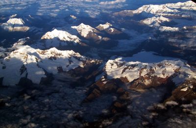
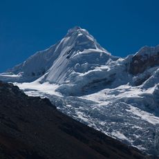
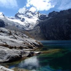
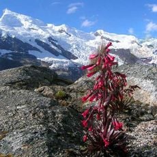
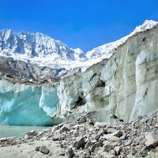
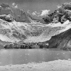
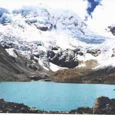
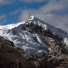
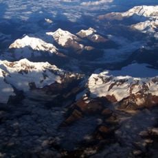
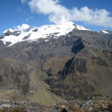
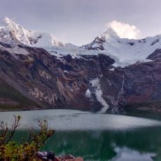
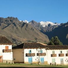
Copap is a mountain summit in the Cordillera Blanca range of the Peruvian Andes, standing at 5570 meters above sea level. The peak forms part of a large glacial system that shapes the surrounding landscape and feeds water into the valleys below.
The mountain formed as part of the geological development of the Cordillera Blanca during the formation of the Andes range. In the late 20th century, it hosted one of the most extensive glacial systems in the region, stretching across several kilometers.
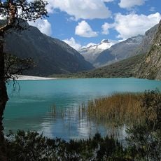
The mountain's name comes from the Quechua word 'qupa', meaning turquoise, which reflects the indigenous heritage of the Andean region. Local communities in the surrounding valleys connect this name to the color of the ice and water that flows from the peak.
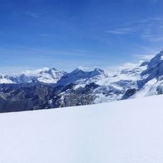
Reaching the peak requires proper altitude acclimatization and sturdy gear for extreme conditions at this elevation. Visitors should prepare for rapid weather changes and allow enough time for your body to adjust before attempting the climb.
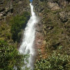
The glacial system on the mountain feeds water sources that supply several Andean valleys and play a vital role in regional agriculture. However, these glacier reserves have shrunk with climate change and visibly demonstrate shifting conditions in the high mountains.
The community of curious travelers
AroundUs brings together thousands of curated places, local tips, and hidden gems, enriched daily by 60,000 contributors worldwide.