
Río Grande District, district in Arequipa, Peru
Location: Condesuyos Province
Capital city: Iquipi
Elevation above the sea: 505 m
Shares border with: Cahuacho District, Yanaquihua District, Andaray District, Mariano Nicolás Valcárcel District, Caravelí District
GPS coordinates: -15.95793,-73.14635
Latest update: March 5, 2025 00:08
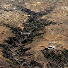
Cotuahusi canion
77.6 km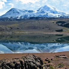
Coropuna
71.6 km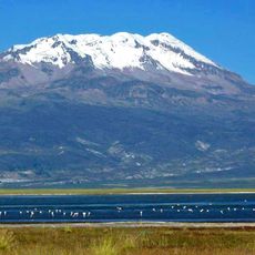
Sara Sara
77.8 km
Toro Muerto
75.5 km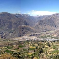
Cotahuasi Subbasin Landscape Reserve
103.8 km
Solimana
66.7 km
Inka Wasi, Ayacucho
101.9 km
Awkiwatu
98.6 km
Tirani
94.2 km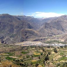
Huiñao
88.5 km
Chilcayoc
101.5 km
P'aqu Urqu (Arequipa)
93.6 km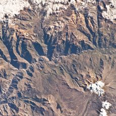
Ticlla (Castilla)
117.3 km
Hatun K'irawniyuq
74.1 km
Ticsho
97.7 km
Yanawara
90.2 km
Pumaranra
86.2 km
Usqullu
90.4 km
P'isqi P'isqi
92.3 km
Jechapita
101.1 km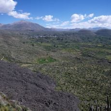
Yanamauras
100.5 km
Cerani
115.9 km
Ñawicha
54.9 km
Chilcayoc Grande
103.3 km
Llallawi
91.4 km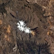
Wakapallqa
89.6 km
Minasniyuq
87.7 km
Huambo
109.3 kmReviews
Visited this place? Tap the stars to rate it and share your experience / photos with the community! Try now! You can cancel it anytime.
Discover hidden gems everywhere you go!
From secret cafés to breathtaking viewpoints, skip the crowded tourist spots and find places that match your style. Our app makes it easy with voice search, smart filtering, route optimization, and insider tips from travelers worldwide. Download now for the complete mobile experience.

A unique approach to discovering new places❞
— Le Figaro
All the places worth exploring❞
— France Info
A tailor-made excursion in just a few clicks❞
— 20 Minutes