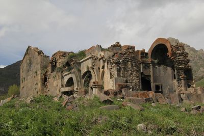
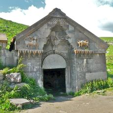
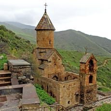
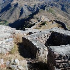
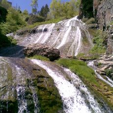
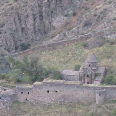
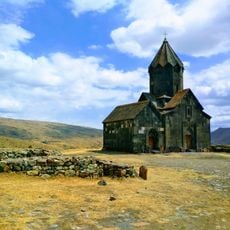
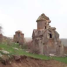
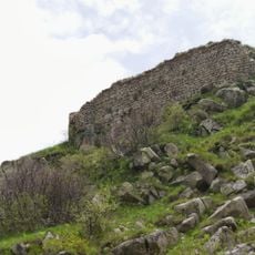
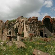
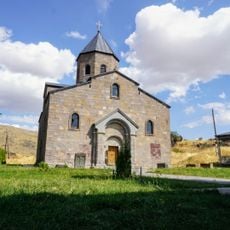
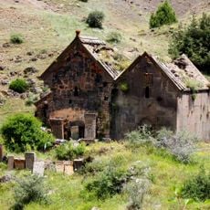
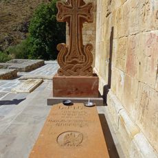
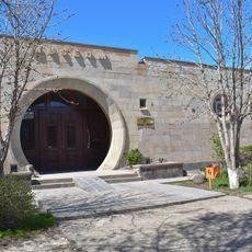
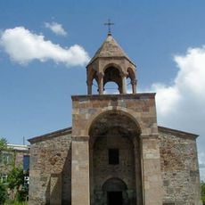
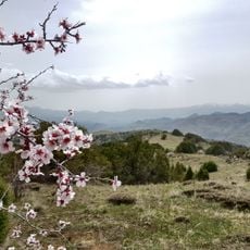
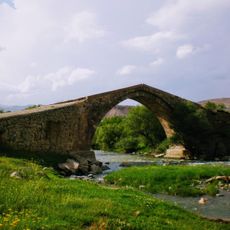
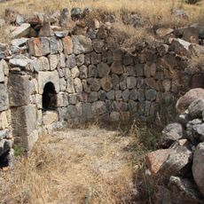
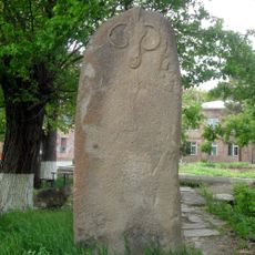
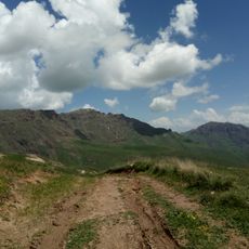
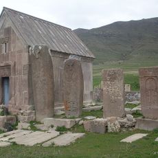
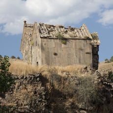
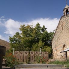
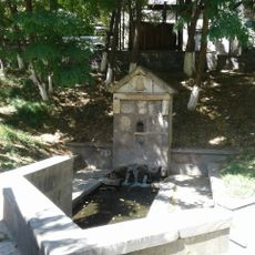
Arates, village in Vayots Dzor Province of Armenia
Location: Vayots Dzor Region
Elevation above the sea: 2,000 m
GPS coordinates: 39.90417,45.44000
Latest update: April 4, 2025 07:30
Orbelian's Caravanserai
18.1 km
Spitakavor Monastery
10.5 km
Smbataberd fortress
9.4 km
Jermuk Waterfall
20.9 km
Gndevank
21.8 km
Kechut Reservoir
21.9 km
Tanahat
13.2 km
Tsakhats Kar Monastery
7.2 km
Proshaberd
9.8 km
Սուրբ Տրդատ եկեղեցի
22.7 km
Arates monastery
84 m
Arkazi Surb Khach
14 km
Surb Sion Monastery, Herher
16.5 km
Grave of Garegin Nzhdeh
10.5 km
Yeghegnadzor Regional Museum
18.1 km
Holy Mother of God Church, Yeghegnadzor
18.7 km
Pahakasar
19.6 km
Agarakadzor Bridge
20.6 km
Saint Mamas Monastery in Salli
14.6 km
Vishapakar
18.3 km
Ջերմուկի պատկերասրահ
21.5 km
Qarkatar
23.2 km
Mineral water gallery in Jermuk
20.6 km
Surb Astvatsatsin Church, Aghavnadzor
22.7 km
October Revolution memorial in Jermuk
20.6 km
Եկեղեցի Սբ. Աստվածածին
16.5 km
Saint Hakob church in Vernashen
14 km
Աղբյուր
19.4 kmReviews
Visited this place? Tap the stars to rate it and share your experience / photos with the community! Try now! You can cancel it anytime.
Discover hidden gems everywhere you go!
From secret cafés to breathtaking viewpoints, skip the crowded tourist spots and find places that match your style. Our app makes it easy with voice search, smart filtering, route optimization, and insider tips from travelers worldwide. Download now for the complete mobile experience.
A unique approach to discovering new places❞
— Le Figaro
All the places worth exploring❞
— France Info
A tailor-made excursion in just a few clicks❞
— 20 Minutes