
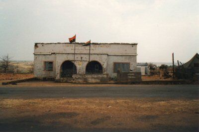
Cuito Cuanavale, municipality of Angola
Location: Cuando Cubango Province
GPS coordinates: -15.16389,19.17306
Latest update: March 21, 2025 20:31
Tsodilo
484.5 km
Liuwa Plain National Park
376.1 km
Bwabwata National Park
468.9 km
101 Battalion
317.5 km
Khaudom National Park
445.1 km
Namutoni
470.2 km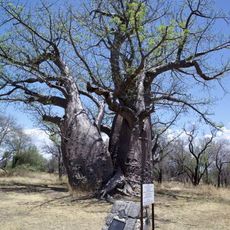
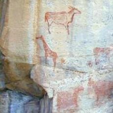
Baobab Tree
424 km
Luengue-Luiana National Park
325.7 km
Popa Game Park
417.3 km
Mahango Game Park
381.5 km
Mupa National Park
394 km
Bicuari National Park
469.1 km
Mucusso National Park
383.4 km
St. Barbara Catholic Church
479.9 km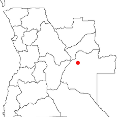
Karipande
454.6 km
Mavinga National Park
160.8 km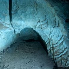
Ghaub Cave
496.8 km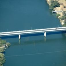
Baganibrücke
413.8 km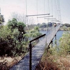
Chinyingi Bridge
460.6 km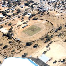
Rundu-Stadion
313.8 km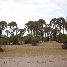
Omhedi Cultural Landscape
440 km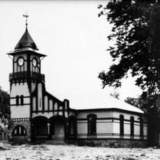
OMEG-Minenbüro
480.5 km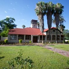
Second Director's House
480.5 km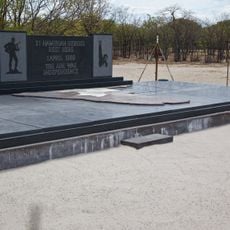
Monument of the Unknown PLAN Soldiers at Ondeshifiilwa
432.2 km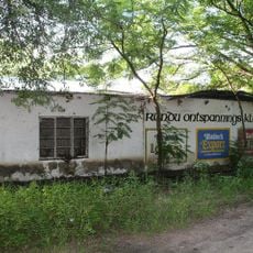
House of the first Native Commissioner of Kavango
313.6 km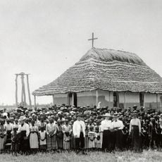
Nakambale House, Church and Cemetery
459.4 km
Rundu Rurale Est
314.7 km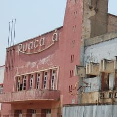
Cine Ruacaná
456.4 kmReviews
Visited this place? Tap the stars to rate it and share your experience / photos with the community! Try now! You can cancel it anytime.
Discover hidden gems everywhere you go!
From secret cafés to breathtaking viewpoints, skip the crowded tourist spots and find places that match your style. Our app makes it easy with voice search, smart filtering, route optimization, and insider tips from travelers worldwide. Download now for the complete mobile experience.

A unique approach to discovering new places❞
— Le Figaro
All the places worth exploring❞
— France Info
A tailor-made excursion in just a few clicks❞
— 20 Minutes