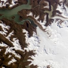
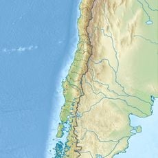
Baker River, Glacial river in Aysén Region, Chile
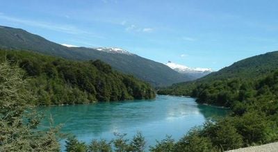
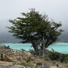
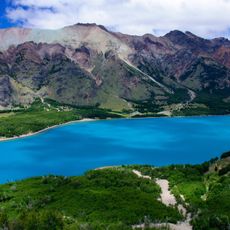
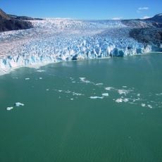
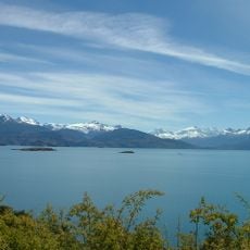
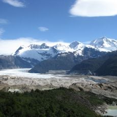
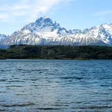
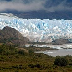
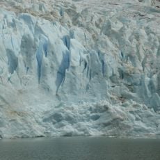
The Baker River is a glacial river in the Aysén Region that flows about 170 kilometers from Bertrand Lake to the Pacific Ocean. Its distinctive turquoise color comes from fine glacier sediment suspended in the water, creating a striking appearance.
The river became the center of a major environmental debate when the government canceled permits for a large dam project in 2014. This decision preserved the river's natural flow and became a turning point for conservation in the region.
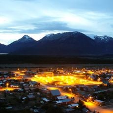
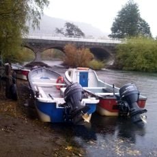
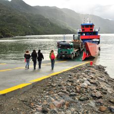
Local communities have relied on these waters for generations, and fishing remains woven into daily life along the banks. People continue traditions passed down through families, making the river central to their identity.
The region is remote and services are sparse, so bring cash as many places do not accept card payments. Visiting during warmer months makes access to riverside camps and activities easier and more comfortable.
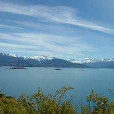
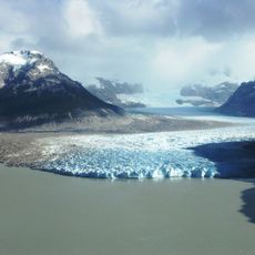
Near its mouth, the river splits into a delta where navigation works only in the northern passage. The southern section becomes shallow and difficult to navigate, creating two very different experiences in one river system.
The community of curious travelers
AroundUs brings together thousands of curated places, local tips, and hidden gems, enriched daily by 60,000 contributors worldwide.