Tortel, Coastal commune in Capitán Prat Province, Chile.
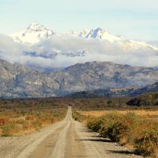
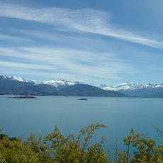
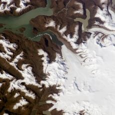
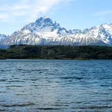
Tortel is a commune spread across a large forested area in southern Patagonia that slopes toward the Pacific Ocean. The landscape features steep hills and thick vegetation that shape how the settlement is organized and how people navigate daily life.
The settlement started in the 1950s as a hub for timber extraction, particularly a local cypress species found in the region. It has grown over the decades despite its remote location and difficult access.
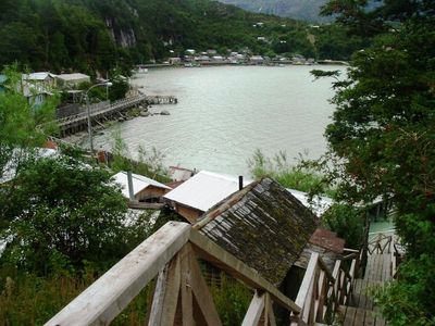
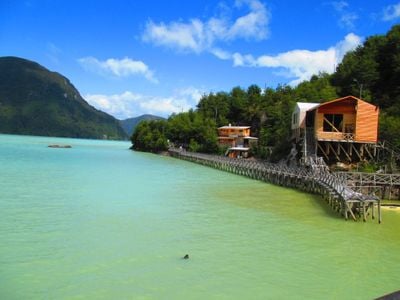
The people here have developed a deep connection to the forest that shapes how they live and move through their community. You can see this reflected in the way the town is built and how daily life intertwines with the surrounding woodland.
The place is remote and accessible primarily by air or boat, though a road connection to the highway system has existed since 2003. Visitors should plan for challenging conditions and be prepared for the difficult terrain.
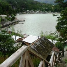
The community is connected by a network of wooden walkways that wind through the forested cove between houses. These elevated pathways are essential because the steep terrain and water make other travel methods unreliable for daily movement.
The community of curious travelers
AroundUs brings together thousands of curated places, local tips, and hidden gems, enriched daily by 60,000 contributors worldwide.