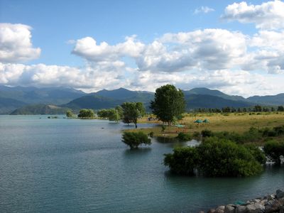
Linares Province, Agricultural province in Maule Region, Chile
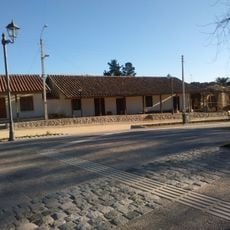
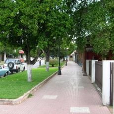
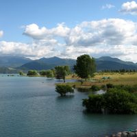
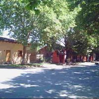
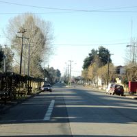
Linares Province is an agricultural region in Maule that spreads across flat, fertile land in Chile's Central Valley. The territory contains eight communes connected by roads, with farmland covering most of the landscape and small towns serving as local centers.
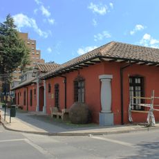
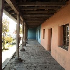
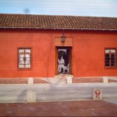
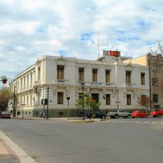
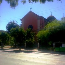
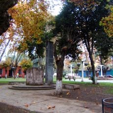
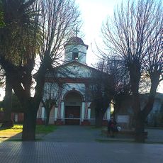
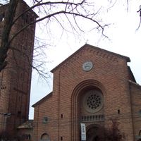
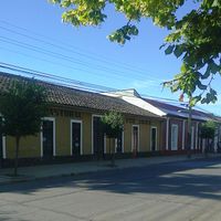
Linares city was founded in 1794 when Ambrosio O'Higgins established it and gave it the name Villa San Ambrosio de Linares as a Spanish colonial settlement. The city grew into the provincial capital and became the hub for agricultural activity in the surrounding lands.
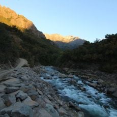
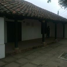
Agriculture shapes daily life here, with farming traditions deeply rooted in the communities across eight communes that work the fields and orchards. The rhythm of the seasons drives how people in these towns and villages organize their time, from planting to harvest.
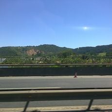
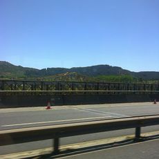
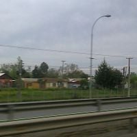
The province sits about 300 kilometers south of Santiago and is easily accessible by Route 5, the main highway that runs through the region. Train services also connect this area to the capital, giving travelers different options for getting around.
This region produces more rice than anywhere else in Chile, making it the country's primary rice-growing area by a significant margin. The flat terrain and warm climate create conditions where rice farming has become the defining crop of the local economy.
Location: Maule Región
Capital city: Linares
Elevation above the sea: 157 m
Shares border with: Talca Province, Cauquenes Province, Minas Department, Punilla Province
Website: http://gobernacionlinares.gov.cl
GPS coordinates: -35.83333,-71.58333
Latest update: December 7, 2025 19:23
Estadio Fiscal de Linares
2.6 km
Museo O'Higginiano y de Bellas Artes de Talca
45.9 km
Museo Histórico O'Higginiano
45.9 km
Los Bellotos del Melado National Reserve
43.2 km
Puente ferroviario Maule
32.9 km
Palmilla
14.2 km
Museo de Arte y Artesanía de Linares
2.2 km
Iglesia del Corazón de María, Linares
2.3 km
Edificio de la Intendencia de la Región del Maule
45.9 km
Museo Histórico de Yerbas Buenas
9.6 km
Sector de los Hombres Ilustres
22.6 km
Edificio de los Servicios Públicos de Talca
45.9 km
Iglesia del Apóstol Pedro, Talca
45.7 km
Memorial de Linares
1.9 km
Iglesia del Niño Jesús, Villa Alegre
22.8 km
Huerta del Maule
37.7 km
Puentes carreteros Maule
32.9 km
Parroquia Corazón de María de Linares
2.3 km
Escuelas Concentradas de Talca. Escuela Superior de Niñas Presidente José Manuel Balmaceda y Fernández.
45.8 km
Sector de la Plaza de Armas de Yerbas Buenas
9.5 km
Memorial del Detenido Desaparecido de Parral
40.4 km
Casa colindante a la Casa de la Independencia
45.9 km
Sector de Villa Alegre
22.7 km
Escuelas Concentradas de Talca. Escuela Superior de Hombres Carlos Salinas.
45.8 km
Mercado Central Municipal de Talca
45.8 km
Templo parroquial Niño Jesús de Villa Alegre
22.8 km
Museo Municipal y Casa de la Cultura de Villa Alegre
22.7 km
Iglesia de la Comunidad Apóstol Pedro o del Buen Pastor
45.8 kmVisited this place? Tap the stars to rate it and share your experience / photos with the community! Try now! You can cancel it anytime.
Discover hidden gems everywhere you go!
From secret cafés to breathtaking viewpoints, skip the crowded tourist spots and find places that match your style. Our app makes it easy with voice search, smart filtering, route optimization, and insider tips from travelers worldwide. Download now for the complete mobile experience.
A unique approach to discovering new places❞
— Le Figaro
All the places worth exploring❞
— France Info
A tailor-made excursion in just a few clicks❞
— 20 Minutes