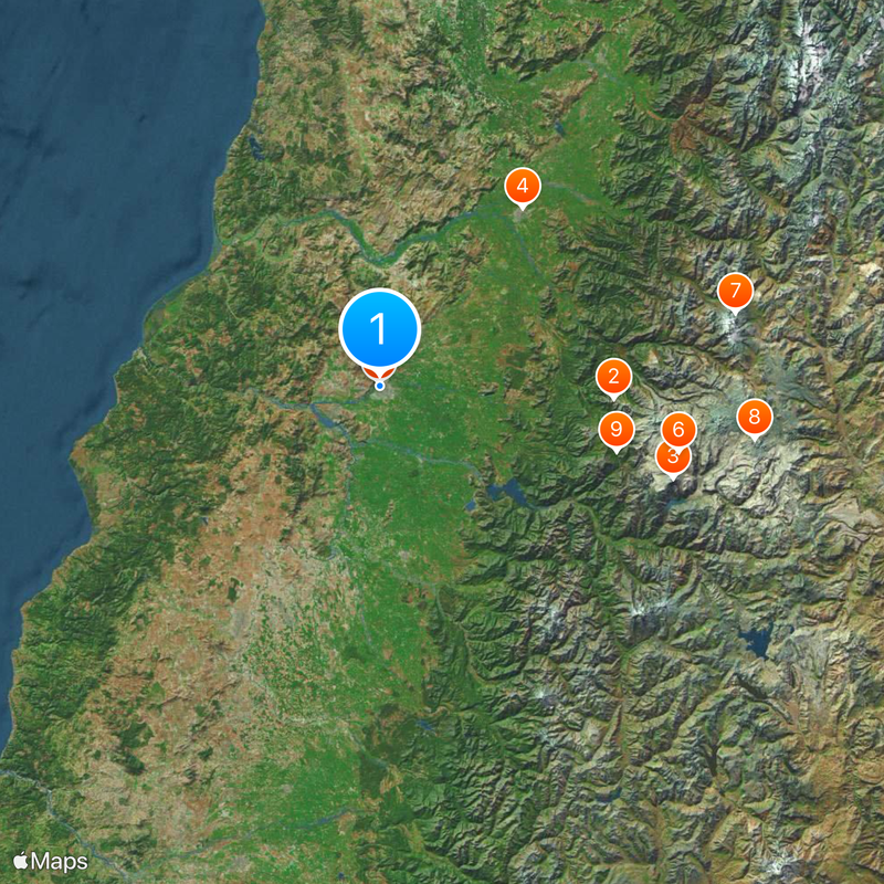
Maule Región, Administrative region in central Chile.
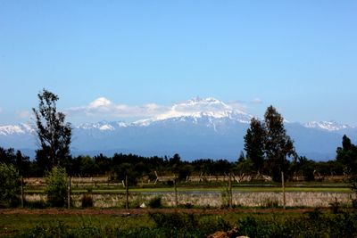
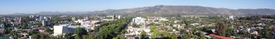
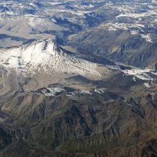
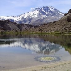
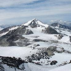
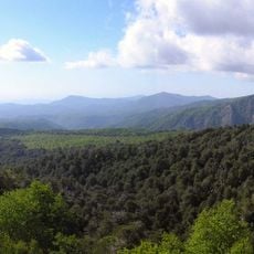
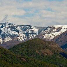
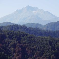
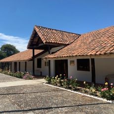
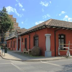
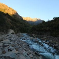
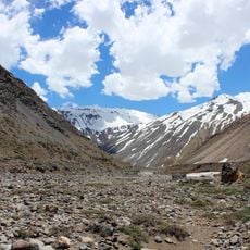
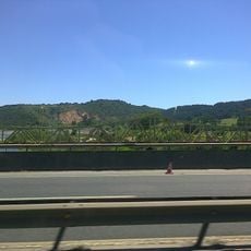
Maule Región is an administrative region in central Chile that stretches from the Pacific Ocean through coastal mountains and the central valley to the Andes range. The landscape shifts between flat valleys with rivers and steep slopes with dense forests, while towns mostly sit along the main roads between larger cities.
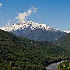
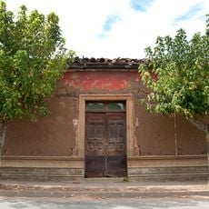
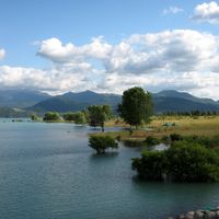
The Maule River formed the southern boundary of the Inca Empire and separated different cultures in pre-colonial South America. Spanish settlers later founded towns along the river and used the fertile land for agriculture and winemaking from the early 19th century.
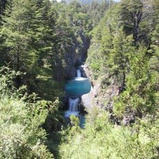
The name comes from the Maule River, which flows west through the entire region to the Pacific coast and means "rain" in the Mapuche language. Visitors today notice this connection in place names and in how communities still organize themselves around the river's water cycle and seasonal rhythms.
Travelers reach the region via the Panamericana highway, which runs north to south and connects all major cities. Road conditions are good on main routes, while secondary roads into the mountains or to remote villages are often unpaved and become difficult to pass in winter.
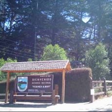
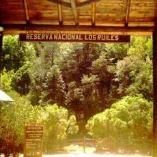
Seven protected areas in the region shelter the Chilean wine palm, a species that grows wild only here and nowhere else in the world. These palms reach heights of up to 25 meters (82 feet) and can live for over 1000 years.
The community of curious travelers
AroundUs brings together thousands of curated places, local tips, and hidden gems, enriched daily by 60,000 contributors worldwide.