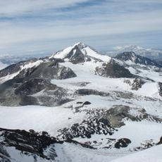
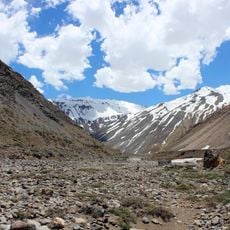
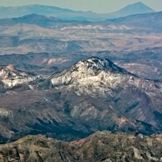
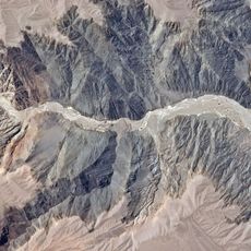
Descabezado Grande, Mountain summit in Maule Region, Chile.
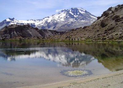
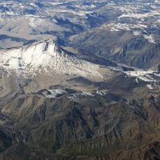
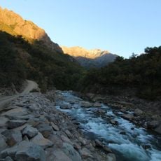
Descabezado Grande is a volcanic peak in the Andes standing at roughly 3,950 meters, with steep rocky slopes and dark stone formations visible across its surface. The mountain shows the typical harsh terrain created by ancient volcanic activity, with jagged rocks and sparse vegetation at higher elevations.
The peak formed millions of years ago through repeated volcanic eruptions that shaped the surrounding landscape. These ancient activity cycles created the steep slopes and rocky structure visible on the mountain today.
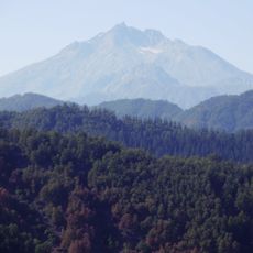
Experienced mountaineers regularly make their way here, drawn by the technical challenge and the opportunity to test their climbing skills on volcanic terrain. The peak holds significance among the climbing community as a recognized milestone in the Andes.
The best climbing season runs from December through March when weather conditions are more favorable. Technical gear and experienced mountaineers are needed to navigate the steep terrain safely.
From the summit, visitors can see several neighboring volcanoes including Cerro Azul and Planchón-Peteroa spread across the horizon. This view reveals how many active and dormant volcanic peaks cluster together in this section of the Andes.
The community of curious travelers
AroundUs brings together thousands of curated places, local tips, and hidden gems, enriched daily by 60,000 contributors worldwide.