Volcán Planchón, Stratovolcano in Maule Region, Chile
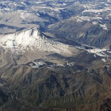
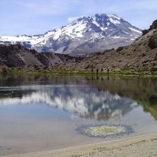
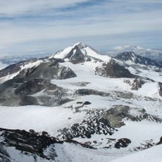
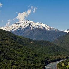
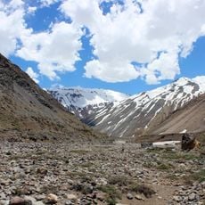
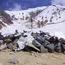
Volcán Planchón is a stratovolcano on the Chile-Argentina border, in the southern part of Maule Region. It has steep lava-rock flanks and a conical peak, and sits within a high-mountain area near the Pehuenche Pass.
The Planchón-Azufre-Peteroa group formed in the Pleistocene. Recorded eruptions in the group run from 1660 to 1998, most from craters in the depression between the Planchón and Peteroa summits, closer to Planchón; the largest, on 3 December 1762, reached VEI 4 with lahars. A phreatic explosion followed on 7 November 2018 at about 10:20 a.m. In 1817 a secondary column of the Army of the Andes under Ramón Freire crossed the foot of the north slope.
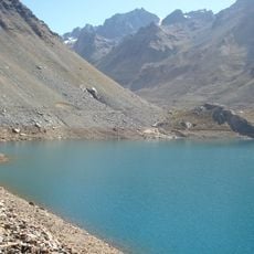
The volcano gives its name to the Paso del Planchón, the Andean crossing used in 1817 by a secondary column of the Army of the Andes under Ramón Freire, sent to take Talca and coordinate with local guerrilla bands during the independence campaign. The Teno River rises nearby at the Lagunas de Teno.
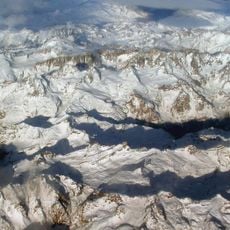
The volcano lies on the Chile-Argentina border, in Chile's Maule Region (Curicó Province, Romeral commune) and Argentina's Mendoza Province (Malargüe Department). It overlooks the Planchón Pass and the Lagunas de Teno, source of the Teno River. Access is over high Andean terrain, and the summit area is shared with the neighbouring Peteroa and Azufre volcanoes.
Around 7,000 years ago, the western flank of the volcano collapsed and sent a massive flow of debris far down the Teno River valley. The deposit left by that event is still visible in the valley today, shaping the course of the river.
The community of curious travelers
AroundUs brings together thousands of curated places, local tips, and hidden gems, enriched daily by 93,002 contributors worldwide.