Palomo, Stratovolcano in Cachapoal Province, Chile.
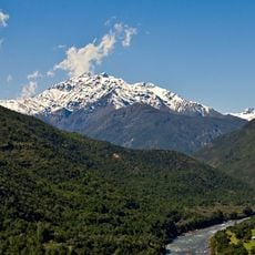
Volcán Palomo is a stratovolcano in the Andes of the O'Higgins Region, Chile, reaching 4,860 m, about 20 km north of Tinguiririca and facing Rengo. Its irregular edifice covers 22.4 km² and bears a double summit crater, possibly from northeastward migration of activity. Nearby stand the granite spires called Agujas del Palomo, and the Andrés vent lies 4.5 km northeast.
The volcano formed through tectonic processes in the South American Andes and has shaped the region for millions of years. Geological surveys show no recorded eruptions in the past 10,000 years.
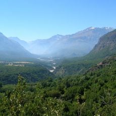
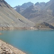
The volcano lies in Río de Los Cipreses National Reserve, in the Sierra del Brujo. The reserve takes its name from the cypress trees along the river. The Agujas del Palomo, granite needles beside the volcano, are a landmark of the reserve.
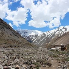
Palomo rises inside Río de Los Cipreses National Reserve, in the Sierra del Brujo, and is reached from Machalí in the O'Higgins Region. The summit stands at 4,850 m, with a snowline around 3,100–3,300 m, so plan for altitude and for glacier travel on the northern and southern flanks. The volcano is remote and little studied; SERNAGEOMIN holds no record of eruptions in the last 10,000 years.
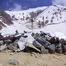
The Universidad Glacier on the southern slope is about 10 km long and feeds the Río San Andrés, which drains into the Tinguiririca. In 1958 it was the second longest glacier in Central Chile; the glaciers here have shrunk since then. The Andrés vent, 4.5 km northeast, is named after the son of geologist Reynaldo Charrier, who described it in 2010.
The community of curious travelers
AroundUs brings together thousands of curated places, local tips, and hidden gems, enriched daily by 92,763 contributors worldwide.