Río Los Cipreses National Reserve, National reserve in Machalí, Chile
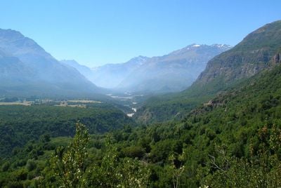
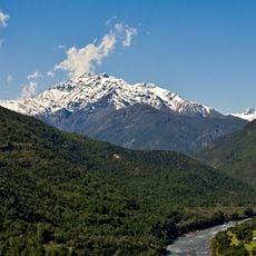
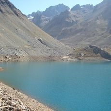
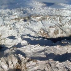
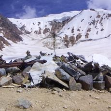
Río Los Cipreses National Reserve is a protected area in the mountains of the O'Higgins Region that covers extensive terrain with varied landscapes. Rivers flow through valleys, peaks rise to high elevations, and the land shows marks from volcanic and glacial activity over time.
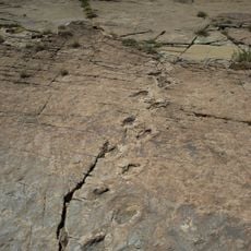
The reserve was established in 1985 by CONAF to protect the natural landscapes and their ecological values. Archaeological discoveries including ancient rock carvings show that people lived in these mountains long before Spanish contact with the region.
The name refers to the cypress trees found throughout the mountain forests that shape the landscape's appearance. Visitors walking the trails encounter these distinctive trees and understand how local nature inspired the reserve's identity.
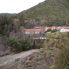
The area has marked trails, picnic areas, and basic lodging options suited for different types of visits. Visitors should prepare for mountainous terrain and bring proper footwear and weatherproof clothing, as conditions change quickly at higher elevations.
The reserve holds some of the northernmost stands of Austrocedrus chilensis cypress, a species that normally grows much further south in Chile. This unusual botanical location draws researchers and visitors interested in exploring specialized forest ecosystems rarely found at this latitude.
The community of curious travelers
AroundUs brings together thousands of curated places, local tips, and hidden gems, enriched daily by 60,000 contributors worldwide.