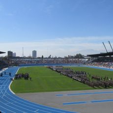
O'Higgins Region, Administrative region in central Chile
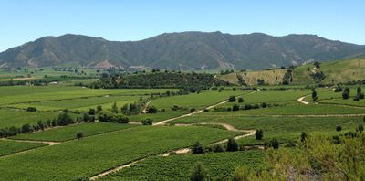
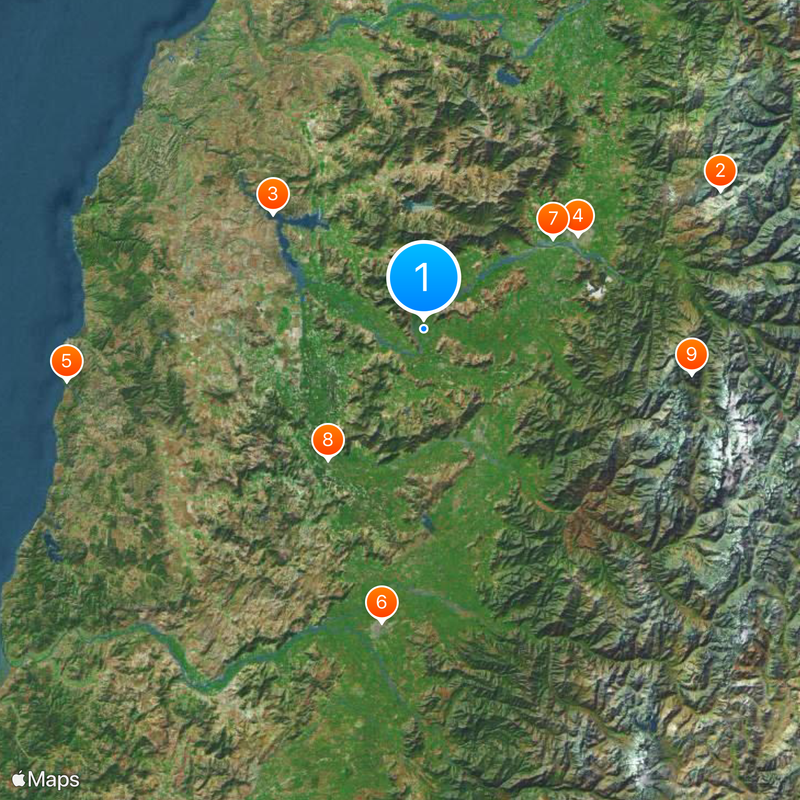
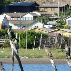
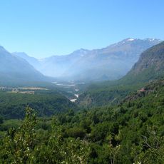
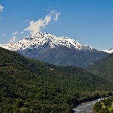
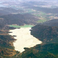
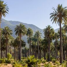
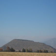
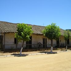
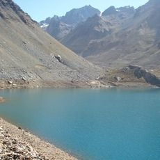
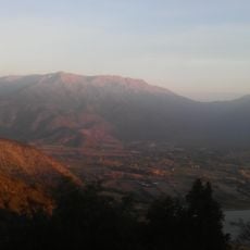
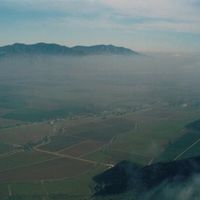
O'Higgins Region is an administrative territory in central Chile that stretches from coastal lowlands to mountain peaks across three provinces. The area includes valleys used for farming, slopes covered with vineyards, and high-altitude passes leading into the cordillera.
The name honors Bernardo O'Higgins, who led Chile after the wars of independence ended Spanish rule. The Battle of Rancagua in 1814 marked a turning point when royalist forces briefly regained control before the final push for freedom.
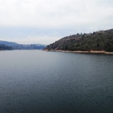
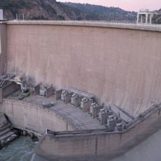
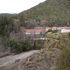
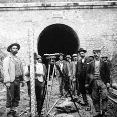
The region maintains strong agricultural traditions through wine production, cattle ranching, and copper mining, particularly at El Teniente, the world's largest underground copper mine.
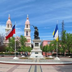
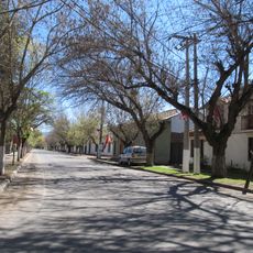
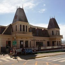
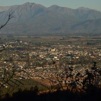
Rancagua serves as the regional center and lies on the Pan-American Highway, which connects to Santiago and points south. Roads lead from the coast through the central valley up into the Andes, with weather and road conditions changing as altitude increases.
Along the coast, salt is harvested in shallow evaporation ponds, while the interior holds fruit orchards and vineyards and the mountains open ski areas in winter. The El Teniente mine lies underground in the Andes and is accessed through long tunnels that reach deep into the rock.
The community of curious travelers
AroundUs brings together thousands of curated places, local tips, and hidden gems, enriched daily by 60,000 contributors worldwide.