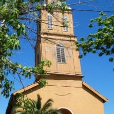
El Cerrillo, Agricultural village in Rengo, Chile
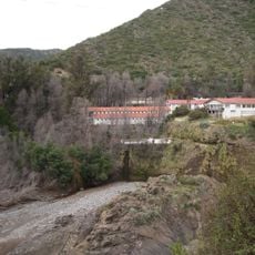
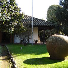
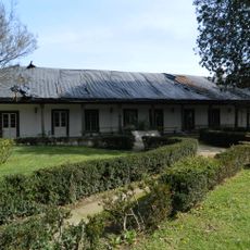
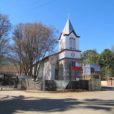
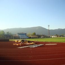
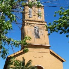
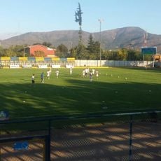
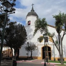
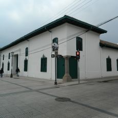
El Cerrillo is a rural village (aldea) in the municipality of Rengo, Cachapoal province, O'Higgins Region, Chile. It lies about 6 km east of Rengo, between the south bank of the Tipaume stream and the Claro de Rengo river, on the lower slopes of Cerro San Juan in the Andean foothills. Its centre has adobe casonas that were badly damaged by the 2010 Chile earthquake.
El Cerrillo appears in Luis Risopatrón's Diccionario Jeográfico de Chile (1924) as a small caserío near Chanqueahue, about 10 km east of Rengo. By 2017 it was classified as a rural aldea with 419 inhabitants and 185 dwellings. In 2013 residents met at the Escuela Huilquío to found the Fourth Fire Company, Bomba El Cerrillo, of the Rengo fire corps.
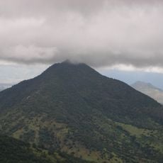
Each summer the Semana Cerrillana opens with a parade of carros alegóricos, followed by traditional games and the election of a queen. Weeks before Fiestas Patrias, residents raise the Chilean flag on the summit of Cerro San Juan, with local artists and folk groups performing.
El Cerrillo lies about 6 km east of Rengo, between the south bank of the Tipaume stream and the Claro de Rengo river. Interurban travel is by taxis colectivos and microbuses heading mainly to Rengo. A rural posta on Avenida Bernardo O'Higgins and neighbourhood almacenes cover basic needs.
The village lies between the south bank of the Tipaume stream and the Claro de Rengo river, about 6 km east of Rengo. The Tipaume natural reserve sits to the northeast and the Huilquío hill, 1,377 m high, to the southeast. The 2017 census recorded 419 inhabitants in 185 homes.
The community of curious travelers
AroundUs brings together thousands of curated places, local tips, and hidden gems, enriched daily by 93,888 contributors worldwide.