Reserva Provincial Castillos de Pincheira, Protected natural area in Malargüe Department, Argentina
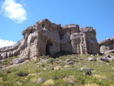
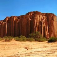
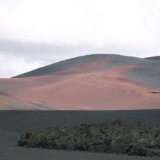
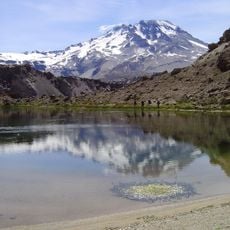
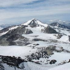
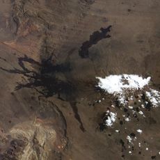
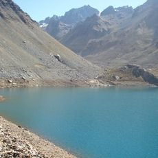
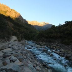
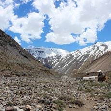
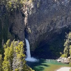
Reserva Provincial Castillos de Pincheira is a protected natural area covering more than 600 hectares with rock towers that resemble castle structures. These formations were shaped by ancient glaciers and water erosion over thousands of years.
In the early 1800s, the Pincheira brothers, outlaws from Chile, used these rock formations as a refuge for their operations. The area is named after them due to their notable presence here.
The Huarpe people lived in this territory long before other groups arrived in the region. Today, traces of their presence remain visible in the landscape and archaeological finds.
The area is accessible from Malargüe city via Fortín Malalhue Street with regular bus service available. Guided tours through the local tourism office will help you understand the geological features you see.
The sedimentary rocks here display distinct color bands and layers from different time periods that are clearly visible to visitors. Archaeologists discovered arrowheads and pottery from ancient times, showing that people knew these formations long before modern settlement.
Location: Malargüe Department
GPS coordinates: -35.51542,-69.79608
Latest update: December 6, 2025 17:41
Nuevo Cuyo contains national parks, geological formations, and historical sites. The region includes red sandstone cliffs in Talampaya Park, the astronomical observatory in El Leoncito, and the natural bridge Puente del Inca. This Argentine region features salt flats, volcanoes, caves, and canyons. The areas house various wildlife species and prehistoric sites.
Radal Siete Tazas National Park
104.7 km
Atuel Canyon
130.8 km
Reserva Provincial La Payunia
114.1 km
Pozo de las Ánimas
40.8 km
Cerro Azul
88.9 km
Witches' Cave
31.8 km
Descabezado Grande
86.5 km
Agua del Toro Dam
124.7 km
Río Los Cipreses National Reserve
131.5 km
Planchón-Peteroa
76.6 km
Payun Matru
112.8 km
Altos de Lircay National Reserve
103.7 km
Volcán Planchón
77.2 km
Tinguiririca Volcano
92.6 km
Laguna de Los Cristales
124.1 km
Colapso del lago Cari Lauquen
115.6 km
Los Bellotos del Melado National Reserve
124.3 km
Volcán Palomo
110.6 km
Abanico Formation
79.4 km
Glaciar Universidad
104.6 km
Caldera del Atuel
106.1 km
Payún Liso
119.9 km
Cochiquito Volcanic Group
133 km
Aduana de Los Queñes
108.7 km
San Pedro de Tarara
109.2 km
Uruguay Air Force Flight 571 Memorial
94.7 km
Banos del Flaco Formation
102.2 km
Salto La Leona
112 kmVisited this place? Tap the stars to rate it and share your experience / photos with the community! Try now! You can cancel it anytime.
Discover hidden gems everywhere you go!
From secret cafés to breathtaking viewpoints, skip the crowded tourist spots and find places that match your style. Our app makes it easy with voice search, smart filtering, route optimization, and insider tips from travelers worldwide. Download now for the complete mobile experience.
A unique approach to discovering new places❞
— Le Figaro
All the places worth exploring❞
— France Info
A tailor-made excursion in just a few clicks❞
— 20 Minutes