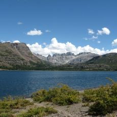
Reserva Provincial La Payunia, Protected area in Malargüe Department, Argentina.
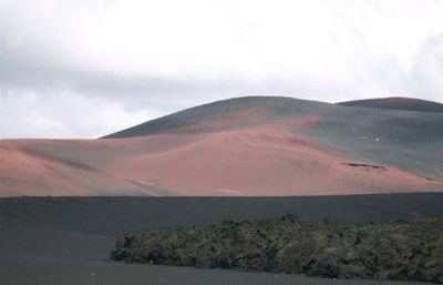
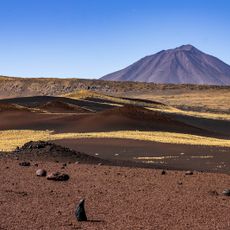
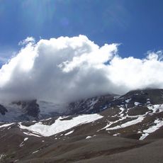
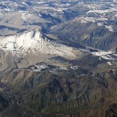
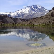
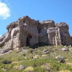
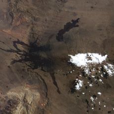
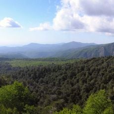
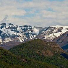
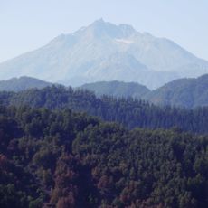
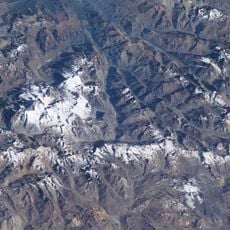
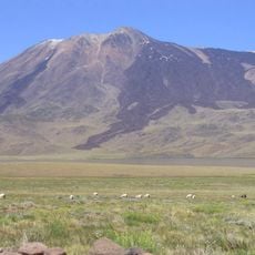
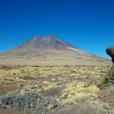
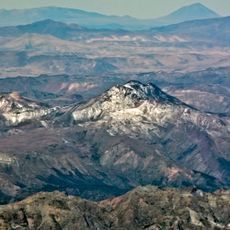
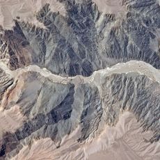
Reserva Provincial La Payunia is a protected area in Malargüe Department, Mendoza Province, spanning wide volcanic fields with hundreds of basalt cones and cooled lava streams. The three large volcanoes Payún Matrú, Payún Liso and Santa María shape the terrain and form one of the densest clusters of volcanic formations in South America.
The provincial government of Mendoza established the reserve in 1988 to protect the geological structures and regional wildlife populations. Since then, the area has been subject to strict regulations governing access and activities.
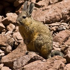
The name comes from Mapuche language and refers to the volcanic origins of the landscape. Local cooperatives still use the grazing areas between cooled lava flows for their guanaco herds, shearing and processing the wool every year.
Visitors need prior authorization and should bring enough water, fuel and provisions, as the reserve has no supply facilities. The unpaved roads require an off-road vehicle and experience driving on rough terrain.
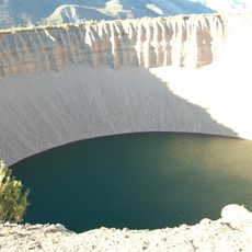
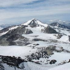
Inside the crater of Payún Matrú lies a second, smaller crater showing visible traces of more recent eruptions. This geological feature attracts scientists from around the world who study volcanic formation processes here.
The community of curious travelers
AroundUs brings together thousands of curated places, local tips, and hidden gems, enriched daily by 60,000 contributors worldwide.