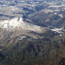
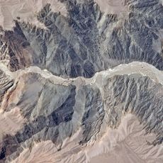
Domuyo, Stratovolcano in Neuquén Province, Argentina
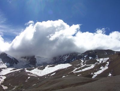
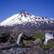
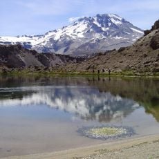
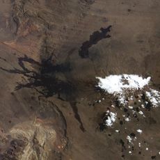
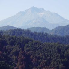
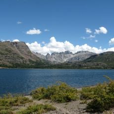
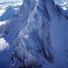
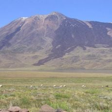
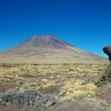
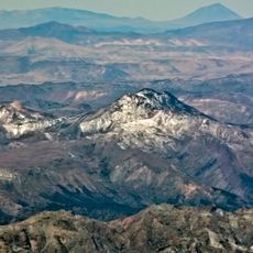
Domuyo is a stratovolcano in Neuquén Province reaching about 4,700 meters high with a large crater dotted by several lava domes. The mountain's structure shows signs of volcanic activity everywhere, from its steep flanks to the hardened lava flows that shape its profile.
The first recorded climb of this volcano took place in 1903 when Father Lino del Valle Carvajal reached the summit, marking the start of mountaineering exploration here. This early expedition opened the door for more climbs and scientific study of the mountain.
The name comes from the Mapuche language and describes this mountain as a place that trembles and makes sounds. Visitors can sense the connection between indigenous people and this active volcano simply by walking through the landscape.
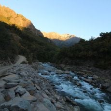
To reach this place, follow National Route 40 from Chos Malal to Provincial Route 43, keeping in mind that road conditions vary by season. Summer months offer the best visiting conditions when snow and ice are less of a concern.
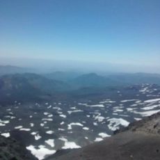
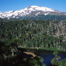
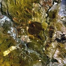
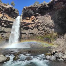
The volcano contains a large geothermal field with hot springs, fumaroles, and geysers, particularly in an area called Rincón de las Papas. These thermal features are scattered across the crater and create a landscape quite different from what one might expect on a mountain.
The community of curious travelers
AroundUs brings together thousands of curated places, local tips, and hidden gems, enriched daily by 60,000 contributors worldwide.